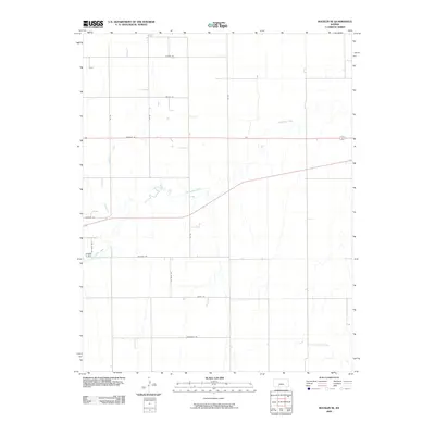
2009 Map of Bucklin SE
USGS Topo · Published 2009About this map
Rattlesnake Creek meanders through this agricultural landscape in southeastern Ford County, defining the drainage patterns of an area otherwise structured by a rigid section-line road network. The map reveals the early 21st-century rural infrastructure of the High Plains, where naming conventions like Warrior Rd, Wildfire Rd, and Wrangler Rd reflect local character. These corridors, including Upland Rd and Wilburn Rd, serve a series of isolated farmsteads and rural properties that are connected to the wider region by paved state and federal routes. This survey provides a clear look at the intersection of natural hydrology and man-made boundaries before further modern development or consolidation of these family-named land tracts.
Find a feature on this map
14 named features on this map. Tap any name to fly to it.
Don’t see what you’re looking for? This feature index may not catch every label — zoom into the map to look around manually.
Map Details
Editions of this 2009 Bucklin SE Map
This is the sole edition of this map. No revisions or reprints were ever made.
Other maps of this area

1889 · Kinsley
USGS Topo · 1:125,000

1892 · Kinsley
USGS Topo · 1:125,000

1892 · Spearville
USGS Topo · 1:125,000

1892 · Coldwater
USGS Topo · 1:125,000

1894 · Spearville
USGS Topo · 1:125,000

1894 · Kinsley
USGS Topo · 1:125,000

1896 · Ashland
USGS Topo · 1:125,000

1955 · Pratt
USGS Topo · 1:250,000

1959 · Pratt
USGS Topo · 1:250,000

1969 · Bucklin NE
USGS Topo · 1:24,000