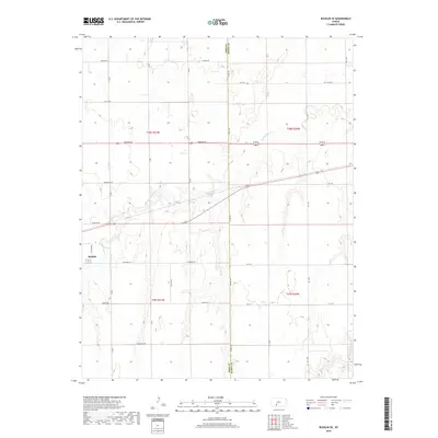
2018 Map of Bucklin SE
USGS Topo · Published 2018About this map
The boundary between Ford and Kiowa counties divides this high plains landscape just east of Bucklin. The terrain is defined by the winding course of Rattlesnake Creek and its smaller branches, including Middle Kiowa Cr in the southeastern corner. This region is organized by a strictly rectilinear road grid that reflects the legacy of the Public Land Survey System, with roads such as Wilburn Rd and Wildfire Rd traversing the sections. The names of the secondary routes, including Whirlwind Rd, Warrior Rd, and Wrangler Rd, hint at the agricultural and pastoral heritage of these western Kansas townships. This map provides a clear view of the section lines and rural infrastructure across townships t28s r21w, t28s r20w, and their neighbors.
Find a feature on this map
25 named features on this map. Tap any name to fly to it.
Don’t see what you’re looking for? This feature index may not catch every label — zoom into the map to look around manually.
Map Details
Editions of this 2018 Bucklin SE Map
This is the sole edition of this map. No revisions or reprints were ever made.
Other maps of this area

1889 · Kinsley
USGS Topo · 1:125,000

1892 · Kinsley
USGS Topo · 1:125,000

1892 · Spearville
USGS Topo · 1:125,000

1892 · Coldwater
USGS Topo · 1:125,000

1894 · Spearville
USGS Topo · 1:125,000

1894 · Kinsley
USGS Topo · 1:125,000

1896 · Ashland
USGS Topo · 1:125,000

1955 · Pratt
USGS Topo · 1:250,000

1959 · Pratt
USGS Topo · 1:250,000

1969 · Bucklin NE
USGS Topo · 1:24,000