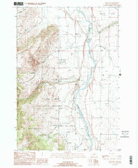
1988 Map of Bucks Nest
USGS Topo · Published 1989About this map
The Madison River carves through this southwestern Montana landscape, serving as a vital corridor for both natural resource management and outdoor access. The eastern bank is characterized by the broad Cameron Bench, where the Kremer Ditch and Olsen Ditch indicate a history of water diversion for high-altitude ranching. West of the river, the terrain rises sharply toward the Beaverhead National Forest and Ruby Mtn. This western flank is dominated by the Wall Creek State Wildlife Management Area, a significant conservation tract that includes the Wall Creek F S Station. Industrial activity is evident at the Cyprus Mine and various prospects scattered near Johnny Gulch, while the McAtee Bridge Boat Ramp highlights the river's role in local recreation during the late 1980s.
Find a feature on this map
33 named features on this map. Tap any name to fly to it.
Don’t see what you’re looking for? This feature index may not catch every label — zoom into the map to look around manually.
Map Details
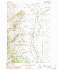
Editions of this 1988 Bucks Nest Map
2 editions found
Other maps of this area

1888 · Three Forks
USGS Topo · 1:250,000

1894 · Three Forks
USGS Topo · 1:250,000

1895 · Three Forks
USGS Topo · 1:250,000

1947 · Bozeman
USGS Topo · 1:250,000

1948 · Bozeman
USGS Topo · 1:250,000

1949 · Varney
USGS Topo · 1:62,500

1950 · Cliff Lake
USGS Topo · 1:62,500

1950 · Cameron
USGS Topo · 1:62,500

1950 · Monument Ridge
USGS Topo · 1:62,500

1955 · Bozeman
USGS Topo · 1:250,000