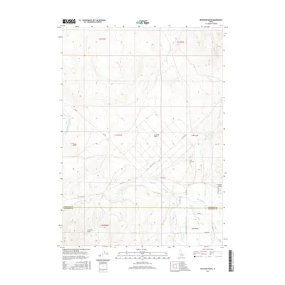
2017 Map of Buckskin Basin
USGS Topo · Published 2017About this map
Buckskin Basin sits at the intersection of the Pocatello Range and the high desert plains of southeastern Idaho, where the complex management of water defines the landscape. The Ross Fork meanders through the central terrain, its flow diverted into a sophisticated network of agricultural infrastructure including the IR Ditch, Ballard Ditch, and Metz Ditch. This 2017 survey details the transition from the upland heights of Hyram Butte to the lower valley floors where the Fort Hall Main Canal and Evening Ditch support the region's ranching and farming economy. Cultural markers such as the Ross Fork Cem and the historical tracks of Sand Rd and White Rock Rd provide critical points of reference for genealogists and local historians tracking the development of these rural townships. The map clearly delineates the administrative boundary between Bingham Co and Bannock Co, illustrating how natural features like Lone Pine Canyon influenced legal and geographical divisions.
Find a feature on this map
32 named features on this map. Tap any name to fly to it.
Don’t see what you’re looking for? This feature index may not catch every label — zoom into the map to look around manually.
Map Details
Editions of this 2017 Buckskin Basin Map
This is the sole edition of this map. No revisions or reprints were ever made.
Other maps of this area

1937 · Pocatello
USGS Topo · 1:48,000

1940 · Blackfoot
USGS Topo · 1:62,500

1943 · Blackfoot
USGS Topo · 1:62,500

1944 · Pocatello
USGS Topo · 1:62,500

1954 · Pocatello
USGS Topo · 1:250,000

1955 · Lincoln Creek
USGS Topo · 1:24,000

1955 · Yandell Springs
USGS Topo · 1:62,500

1955 · Idaho Falls
USGS Topo · 1:250,000

1958 · Idaho Falls
USGS Topo · 1:250,000

1958 · Pocatello
USGS Topo · 1:250,000