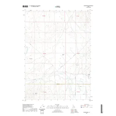
2020 Map of Buckskin Basin
USGS Topo · Published 2020About this map
Ross Fork and its winding tributaries dominate this portion of the high country along the Bingham and Bannock County line. The landscape is defined by a complex network of irrigation and drainage infrastructure, including the Fort Hall Main Canal, Wenee Ditch, and Ballard Ditch, reflecting the managed water resources essential to this region. Elevated terrain such as Hyram Butte and the Pocatello Range rises above the namesake Buckskin Basin, while Lone Pine Canyon cuts through the eastern slopes. A legacy of local land use is visible in the placement of the Ross Fork Cem and the route of Gay Mine Rd, which traverses the hills toward the southeast. The map provides a contemporary view of these traditional ranching and rural corridors, anchored by family-named landmarks like Indian Cr and Cedar Spring.
Find a feature on this map
32 named features on this map. Tap any name to fly to it.
Don’t see what you’re looking for? This feature index may not catch every label — zoom into the map to look around manually.
Map Details
Editions of this 2020 Buckskin Basin Map
This is the sole edition of this map. No revisions or reprints were ever made.
Other maps of this area

1937 · Pocatello
USGS Topo · 1:48,000

1940 · Blackfoot
USGS Topo · 1:62,500

1943 · Blackfoot
USGS Topo · 1:62,500

1944 · Pocatello
USGS Topo · 1:62,500

1954 · Pocatello
USGS Topo · 1:250,000

1955 · Lincoln Creek
USGS Topo · 1:24,000

1955 · Yandell Springs
USGS Topo · 1:62,500

1955 · Idaho Falls
USGS Topo · 1:250,000

1958 · Idaho Falls
USGS Topo · 1:250,000

1958 · Pocatello
USGS Topo · 1:250,000