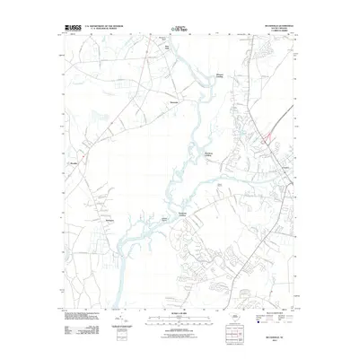
2011 Map of Bucksville
USGS Topo · Published 2011About this map
The Waccamaw River dominates this coastal South Carolina landscape, carving a complex network of channels and islands including Oatbed Island and the meandering Old River. This 2011 survey documents the established settlements of Bucksville and Bucksport along with the smaller communities of Klondike and Coopers. The river's significance to local commerce and recreation is evident in the numerous access points and maritime facilities, such as Peachtree Landing, Rheuark Landing, and the Osprey Marina.
Find a feature on this map
112 named features on this map. Tap any name to fly to it.
Don’t see what you’re looking for? This feature index may not catch every label — zoom into the map to look around manually.
Map Details
Editions of this 2011 Bucksville Map
This is the sole edition of this map. No revisions or reprints were ever made.
Other maps of this area

1937 · Myrtle Beach
USGS Topo · 1:48,000

1937 · Nixonville
USGS Topo · 1:48,000

1940 · Myrtle Beach
USGS Topo · 1:62,500

1942 · Nixonville
USGS Topo · 1:62,500

1943 · Yauhannah
USGS Topo · 1:24,000

1943 · Bucksville
USGS Topo · 1:24,000

1943 · Brookgreen
USGS Topo · 1:24,000

1943 · Plantersville
USGS Topo · 1:24,000

1943 · Dongola
USGS Topo · 1:24,000

1943 · Conway
USGS Topo · 1:24,000