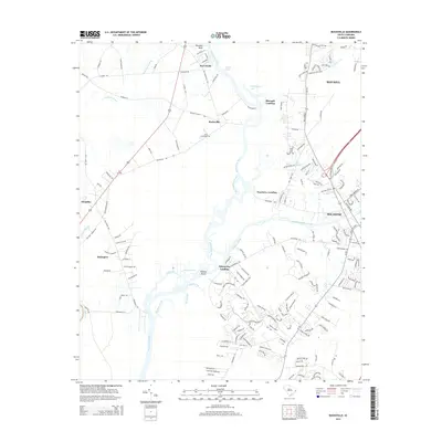
2014 Map of Bucksville
USGS Topo · Published 2014About this map
The Waccamaw River carves a winding path through this portion of Horry County, defining a landscape shaped by water and timber history. Near the center, Bucksville and the Buck Graveyard mark the legacy of the local lumber industry, situated just north of where Big Buckskin Creek meets the main channel. The map shows the transition from the wetlands of Cowford Swamp and Halfway Swamp to the rising ground at Ransoms Bluff. To the south and east, the modern influence of the Intracoastal Waterway intersects with older river landings such as Peachtree Landing and Enterprise Landing. The settlement patterns of Bucksport and Klondike are clearly delineated against the complex network of river prongs and islands, including Oatbed Island and the confluence of Clark Creek.
Find a feature on this map
171 named features on this map. Tap any name to fly to it.
Don’t see what you’re looking for? This feature index may not catch every label — zoom into the map to look around manually.
Map Details
Editions of this 2014 Bucksville Map
This is the sole edition of this map. No revisions or reprints were ever made.
Other maps of this area

1937 · Myrtle Beach
USGS Topo · 1:48,000

1937 · Nixonville
USGS Topo · 1:48,000

1940 · Myrtle Beach
USGS Topo · 1:62,500

1942 · Nixonville
USGS Topo · 1:62,500

1943 · Yauhannah
USGS Topo · 1:24,000

1943 · Bucksville
USGS Topo · 1:24,000

1943 · Brookgreen
USGS Topo · 1:24,000

1943 · Plantersville
USGS Topo · 1:24,000

1943 · Dongola
USGS Topo · 1:24,000

1943 · Conway
USGS Topo · 1:24,000