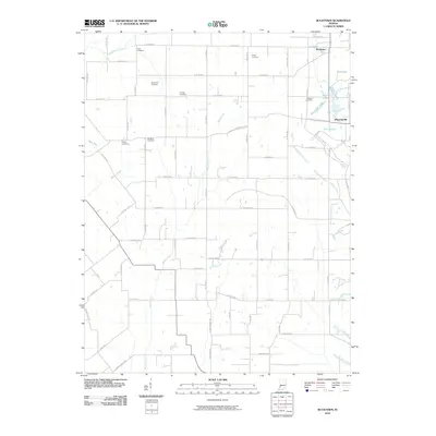
2010 Map of Bucktown
USGS Topo · Published 2010About this map
Bucktown and Pleasantville anchor this rural landscape in Sullivan County, where a dense network of county roads organizes the agricultural terrain. The map is particularly notable for its concentration of family and local burial grounds, including the Skidmore Cemetery, Trimble Cemetery, and Harper Cemetery, providing a significant record for genealogical research in the region. Waterways like Maria Creek and the Middle Fork Creek wind through the township, while specialized features like Motorboat Lake and Red Lake suggest a landscape altered by local industry or recreation. The infrastructure is defined by a rigid grid of numeric county routes, such as E Co Rd 700 S, intersected by named thoroughfares like the Carlisle-Pleasantville Rd, illustrating the transition from traditional named trails to a modernized rural address system.
Find a feature on this map
61 named features on this map. Tap any name to fly to it.
Don’t see what you’re looking for? This feature index may not catch every label — zoom into the map to look around manually.
Map Details
Editions of this 2010 Bucktown Map
This is the sole edition of this map. No revisions or reprints were ever made.
Other maps of this area

1940 · Linton
USGS Topo · 1:24,000

1943 · Carlisle
USGS Topo · 1:24,000

1943 · Oaktown
USGS Topo · 1:24,000

1943 · Sandborn
USGS Topo · 1:24,000

1943 · Bicknell
USGS Topo · 1:24,000

1943 · Plainville
USGS Topo · 1:24,000

1943 · Sullivan
USGS Topo · 1:24,000

1943 · Dugger
USGS Topo · 1:24,000

1944 · Bucktown
USGS Topo · 1:24,000

1947 · Linton
USGS Topo · 1:24,000