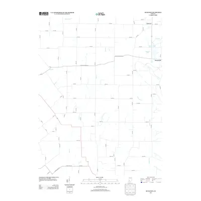
2013 Map of Bucktown
USGS Topo · Published 2013About this map
Bucktown and the surrounding Sullivan County countryside appear in this 2013 survey as a landscape defined by its complex water systems and precise section-line roads. The eastern portion of the quadrangle is dominated by a chain of water bodies, including Red Lake, More Lake, Twin Lake, and Motorboat Lake, indicating a legacy of local recreation or land modification. To the south, the settlement of Pleasantville sits near South Lake, connected to the wider region by the Carlisle-Pleasantville Rd.
Find a feature on this map
52 named features on this map. Tap any name to fly to it.
Don’t see what you’re looking for? This feature index may not catch every label — zoom into the map to look around manually.
Map Details
Editions of this 2013 Bucktown Map
This is the sole edition of this map. No revisions or reprints were ever made.
Other maps of this area

1940 · Linton
USGS Topo · 1:24,000

1943 · Carlisle
USGS Topo · 1:24,000

1943 · Oaktown
USGS Topo · 1:24,000

1943 · Sandborn
USGS Topo · 1:24,000

1943 · Bicknell
USGS Topo · 1:24,000

1943 · Plainville
USGS Topo · 1:24,000

1943 · Sullivan
USGS Topo · 1:24,000

1943 · Dugger
USGS Topo · 1:24,000

1944 · Bucktown
USGS Topo · 1:24,000

1947 · Linton
USGS Topo · 1:24,000