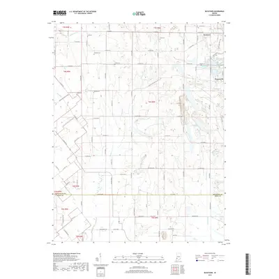
2019 Map of Bucktown
USGS Topo · Published 2019About this map
Bucktown and Pleasantville anchor this portion of the Indiana landscape, where the rural topography is defined by a significant density of family and community burial grounds. This 2019 survey documents several small cemeteries, including Land Cem, Posey Cem, Skidmore Cem, and McDade Cem, which serve as vital markers for genealogists and local historians tracking early settlement patterns. The terrain is drained by systems like Middle Fork Cr and Marsh Cr, while the eastern portion of the map is punctuated by several water bodies, most notably Red Lake, Twin Lake, and South Lake. The road network, including Carlisle-Pleasantville RD and E State RD 58, connects these scattered homesteads and historical sites across the undulating township lines of t6n r8w and t7n r8w.
Find a feature on this map
75 named features on this map. Tap any name to fly to it.
Don’t see what you’re looking for? This feature index may not catch every label — zoom into the map to look around manually.
Map Details
Editions of this 2019 Bucktown Map
This is the sole edition of this map. No revisions or reprints were ever made.
Other maps of this area

1940 · Linton
USGS Topo · 1:24,000

1943 · Carlisle
USGS Topo · 1:24,000

1943 · Oaktown
USGS Topo · 1:24,000

1943 · Sandborn
USGS Topo · 1:24,000

1943 · Bicknell
USGS Topo · 1:24,000

1943 · Plainville
USGS Topo · 1:24,000

1943 · Sullivan
USGS Topo · 1:24,000

1943 · Dugger
USGS Topo · 1:24,000

1944 · Bucktown
USGS Topo · 1:24,000

1947 · Linton
USGS Topo · 1:24,000