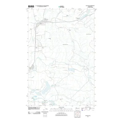
2011 Map of Bucoda
USGS Topo · Published 2011About this map
Tenino serves as a primary hub in this Thurston County corridor, where the historic Oregon Trail Monument stands as a physical marker of pioneer migration. The landscape transitions from the residential streets of Tenino and Bucoda to an industrial and resource-based interior, most notably evidenced by the Black Prince Mine and the complex system of managed waterways in the south, including Surge Pond and Dam Number Six.
Find a feature on this map
52 named features on this map. Tap any name to fly to it.
Don’t see what you’re looking for? This feature index may not catch every label — zoom into the map to look around manually.
Map Details
Editions of this 2011 Bucoda Map
This is the sole edition of this map. No revisions or reprints were ever made.
Other maps of this area

1916 · Chehalis
USGS Topo · 1:125,000

1940 · Tenino
USGS Topo · 1:62,500

1943 · Willapa
USGS Topo · 1:62,500

1944 · Tenino
USGS Topo · 1:62,500

1944 · Yelm
USGS Topo · 1:62,500

1949 · Yelm
USGS Topo · 1:62,500

1949 · Tenino
USGS Topo · 1:62,500

1953 · Hoquiam
USGS Topo · 1:250,000

1954 · Onalaska
USGS Topo · 1:62,500

1954 · Centralia
USGS Topo · 1:62,500