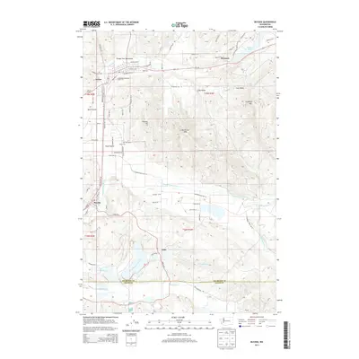
2013 Map of Bucoda
USGS Topo · Published 2013About this map
Tenino and Bucoda anchor this portion of the Pacific Northwest, where the valley of the Skookumchuck River meets the timbered slopes of Northcraft Mtn. The landscape is a mix of lowland prairies and upland ridges, with Rock Prairie and Frost Prairie providing level ground for early settlements and agriculture. A historic line of travel is marked by the Oregon Trail Monument near the rail crossing at Tenino Junction, reflecting the area's role as a transportation corridor between the Columbia River and Puget Sound.
Find a feature on this map
79 named features on this map. Tap any name to fly to it.
Don’t see what you’re looking for? This feature index may not catch every label — zoom into the map to look around manually.
Map Details
Editions of this 2013 Bucoda Map
This is the sole edition of this map. No revisions or reprints were ever made.
Other maps of this area

1916 · Chehalis
USGS Topo · 1:125,000

1940 · Tenino
USGS Topo · 1:62,500

1943 · Willapa
USGS Topo · 1:62,500

1944 · Tenino
USGS Topo · 1:62,500

1944 · Yelm
USGS Topo · 1:62,500

1949 · Yelm
USGS Topo · 1:62,500

1949 · Tenino
USGS Topo · 1:62,500

1953 · Hoquiam
USGS Topo · 1:250,000

1954 · Onalaska
USGS Topo · 1:62,500

1954 · Centralia
USGS Topo · 1:62,500