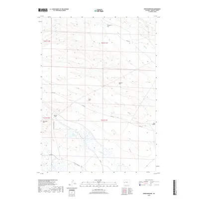
2018 Map of Budd Reservoir
USGS Topo · Published 2018About this map
Budd Reservoir lies at the heart of this high-altitude drainage system in Sublette County, where water management and livestock grazing define the land use. The terrain is deeply scored by ephemeral watercourses such as Antelope Draw, Ryegrass Draw, and Billies Draw, which move seasonal runoff toward larger systems like Muddy Cr. This 2018 survey reveals a landscape largely managed by the Bureau of Land Management, evidenced by the network of administrative routes including BLM Rd 5204 and BLM Rd 5212. Geologic landmarks like Dead Indian Dome provide navigational anchors in a region where the vast open spaces are partitioned into township and range blocks, such as t31n r112w and t32n r112w. For researchers, the map provides a clear view of the modern infrastructure required to sustain the high-desert environment, from the developed reservoir to the remote reaches of Meadow Canyon.
Find a feature on this map
18 named features on this map. Tap any name to fly to it.
Don’t see what you’re looking for? This feature index may not catch every label — zoom into the map to look around manually.
Map Details
Editions of this 2018 Budd Reservoir Map
This is the sole edition of this map. No revisions or reprints were ever made.
Other maps of this area

1939 · Big Piney
USGS Topo · 1:125,000

1942 · Big Piney
USGS Topo · 1:125,000

1955 · Preston
USGS Topo · 1:250,000

1958 · Preston
USGS Topo · 1:250,000

1962 · Preston
USGS Topo · 1:250,000
1970 · Budd Reservoir
USGS Topo · 1:24,000
1970 · Big Piney West
USGS Topo · 1:24,000
1970 · Daniel
USGS Topo · 1:24,000
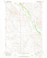
1970 · Ball Island
USGS Topo · 1:24,000
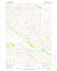
1970 · Onion Springs
USGS Topo · 1:24,000