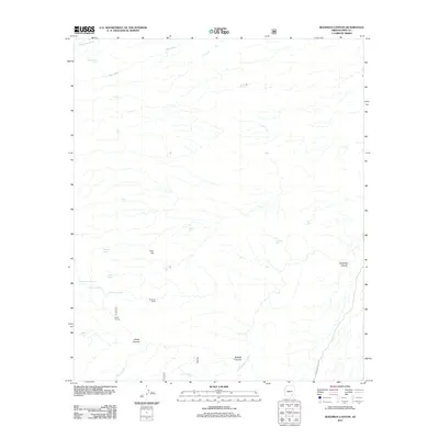
2011 Map of Buehman Canyon
USGS Topo · Published 2011About this map
Buehman Canyon carves a deep profile through the landscape of northeastern Pima County, defined by a network of seasonal water sources and ephemeral washes. This 2011 survey documents a sparsely settled ranching environment, where human presence is marked by sites like the OF Parker Ranch and Brush Corrals. The terrain is characterized by dramatic elevation changes in Diablo Canyon and Bullock Canyon, while water management is vital to the area's utility, evidenced by numerous named tanks such as Old Dirt Tank, Pink Tank, and Cocklebur Tank.
Find a feature on this map
27 named features on this map. Tap any name to fly to it.
Don’t see what you’re looking for? This feature index may not catch every label — zoom into the map to look around manually.
Map Details
Editions of this 2011 Buehman Canyon Map
This is the sole edition of this map. No revisions or reprints were ever made.
Other maps of this area

1904 · Tucson
USGS Topo · 1:125,000

1905 · Tucson
USGS Topo · 1:125,000

1911 · Winkelman
USGS Topo · 1:125,000

1913 · Winkelman
USGS Topo · 1:125,000

1938 · Galiuro Mts
USGS Topo · 1:48,000

1943 · Galiuro Mts
USGS Topo · 1:62,500

1945 · Redington
USGS Topo · 1:62,500

1948 · Mammoth
USGS Topo · 1:62,500

1948 · Campo Bonito
USGS Topo · 1:24,000

1948 · Peppersauce Wash
USGS Topo · 1:24,000