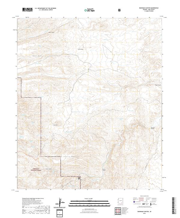
2021 Map of Buehman Canyon
USGS Topo · Published 2021About this map
The Santa Catalina Mountains dominate this high-desert landscape in Pima County, where the topography transitions from the steep drainage of Buehman Canyon to the elevated expanse of Davis Mesa. Managed as part of the Coronado National Forest, this terrain is defined by a critical network of water sources essential for life in the arid southwest. Numerous tanks and springs are scattered across the quadrangle, including Cottonwood Cove Spring, Pearsons Spring, and Georges Spring, which likely served both local wildlife and historic ranching operations. Modern access is facilitated by Redington Rd in the southeast, while the interior remains accessible via rugged routes like the Brush Corral Trl. The presence of features such as Old Dirt Tank and Lonehill Tank indicates a long-standing reliance on water catchment systems to support livestock and seasonal travel through the deep relief of Bullock Canyon and Diablo Canyon.
Find a feature on this map
34 named features on this map. Tap any name to fly to it.
Don’t see what you’re looking for? This feature index may not catch every label — zoom into the map to look around manually.
Map Details
Editions of this 2021 Buehman Canyon Map
This is the sole edition of this map. No revisions or reprints were ever made.
Other maps of this area

1904 · Tucson
USGS Topo · 1:125,000

1905 · Tucson
USGS Topo · 1:125,000

1911 · Winkelman
USGS Topo · 1:125,000

1913 · Winkelman
USGS Topo · 1:125,000

1938 · Galiuro Mts
USGS Topo · 1:48,000

1943 · Galiuro Mts
USGS Topo · 1:62,500

1945 · Redington
USGS Topo · 1:62,500

1948 · Mammoth
USGS Topo · 1:62,500

1948 · Campo Bonito
USGS Topo · 1:24,000

1948 · Peppersauce Wash
USGS Topo · 1:24,000