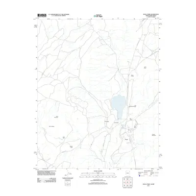
2011 Map of Buell Park
USGS Topo · Published 2011About this map
Navajo serves as a primary residential center in this high-desert landscape, where modern street names like Cleveland Blvd and Walnut Ave contrast with the long-established natural landmarks of the Fort Defiance Agency. The geography is defined by significant geological formations, including the prominent volcanic feature of Buell Park and the nearby Buell Mountain. To the north, the waters of Red Lake are framed by Red Lake Natural Bridge and the distinctive Outlet Neck.
Find a feature on this map
28 named features on this map. Tap any name to fly to it.
Don’t see what you’re looking for? This feature index may not catch every label — zoom into the map to look around manually.
Map Details
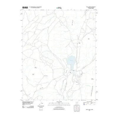
Editions of this 2011 Buell Park Map
2 editions found
Other maps of this area

1886 · Wingate
USGS Topo · 1:250,000

1886 · Fort Defiance
USGS Topo · 1:250,000

1889 · Chaco
USGS Topo · 1:250,000

1892 · Fort Defiance
USGS Topo · 1:250,000

1892 · Wingate
USGS Topo · 1:250,000

1892 · Chaco
USGS Topo · 1:250,000

1892 · Canyon De Chelly
USGS Topo · 1:250,000

1954 · Shiprock
USGS Topo · 1:250,000

1954 · Gallup
USGS Topo · 1:250,000

1955 · Zith-Tusayan Butte 1 SE
USGS Topo · 1:24,000