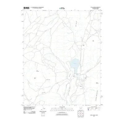
2011 Map of Buell Park
USGS Topo · Published 2011About this map
Red Valley and the surrounding high desert terrain characterize this landscape along the Arizona-New Mexico border within the Navajo Nation. The central feature is Buell Park, a volcanic depression bounded by Buell Mountain and Peridot Ridge. The settlement of Navajo is situated in the southeastern portion of the map, adjacent to the prominent peaks of Zilditloi Mountain and the Chuska Mountains.
Find a feature on this map
25 named features on this map. Tap any name to fly to it.
Don’t see what you’re looking for? This feature index may not catch every label — zoom into the map to look around manually.
Map Details
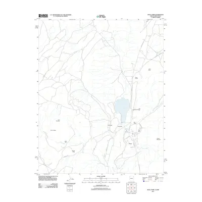
Editions of this 2011 Buell Park Map
2 editions found
Other maps of this area

1886 · Wingate
USGS Topo · 1:250,000

1886 · Fort Defiance
USGS Topo · 1:250,000

1889 · Chaco
USGS Topo · 1:250,000

1892 · Fort Defiance
USGS Topo · 1:250,000

1892 · Wingate
USGS Topo · 1:250,000

1892 · Chaco
USGS Topo · 1:250,000

1892 · Canyon De Chelly
USGS Topo · 1:250,000

1954 · Shiprock
USGS Topo · 1:250,000

1954 · Gallup
USGS Topo · 1:250,000

1955 · Zith-Tusayan Butte 1 SE
USGS Topo · 1:24,000