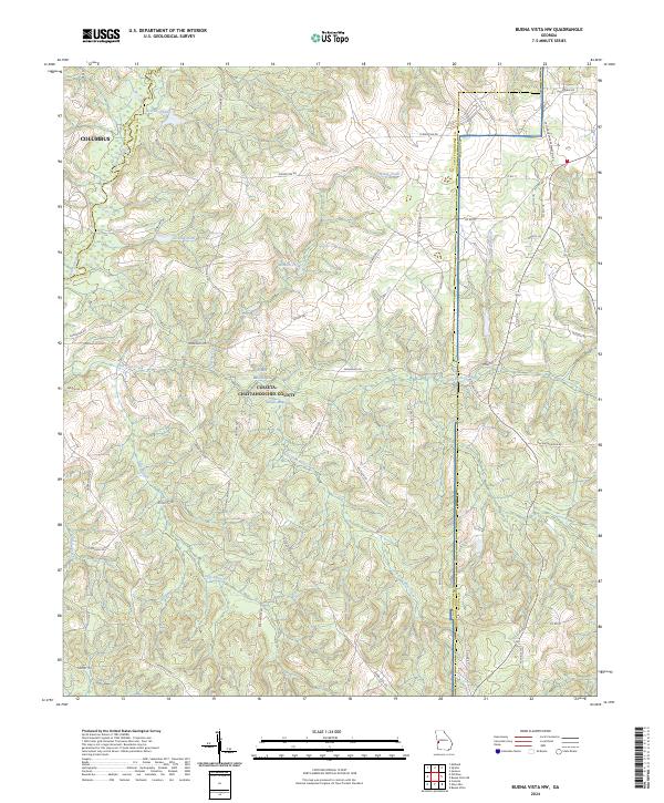
2024 Map of Buena Vista NW
USGS Topo · Published 2024About this map
Fort Benning occupies a significant portion of this landscape, where the wooded terrain is defined by the headwaters and branches of Upatoi Creek. The topography is intricately carved by numerous waterways, including Pine Knot Creek, Sally Branch, and Bonham Creek, reflecting a land managed for military training and local water resources. Small impoundments like Gallups Millpond, McMath Pond, and Snelling Pond are scattered throughout the region, suggesting a history of water management and localized agriculture before or alongside the military presence. A network of named trails and roads, such as Shamanski Rd and Buena Vista Rd, connects these remote points across the Chattahoochee and Marion County line. The presence of the Concord-Landing Strip further emphasizes the specialized use of this territory within the larger military reservation area south of Columbus.
Find a feature on this map
53 named features on this map. Tap any name to fly to it.
Don’t see what you’re looking for? This feature index may not catch every label — zoom into the map to look around manually.
Map Details
Editions of this 2024 Buena Vista NW Map
This is the sole edition of this map. No revisions or reprints were ever made.
Other maps of this area

1907 · Talbotton
USGS Topo · 1:125,000

1908 · Columbus
USGS Topo · 1:62,500

1929 · Columbus
USGS Topo · 1:48,000

1947 · Columbus
USGS Topo · 1:62,500

1949 · Midland
USGS Topo · 1:24,000

1949 · Glen Alta
USGS Topo · 1:24,000

1949 · Upatoi
USGS Topo · 1:24,000

1949 · Ochillee
USGS Topo · 1:24,000

1949 · Buena Vista NW
USGS Topo · 1:24,000

1949 · Cusseta
USGS Topo · 1:24,000