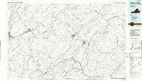
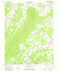
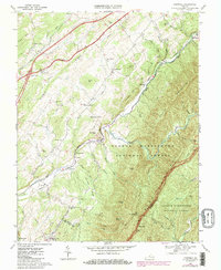
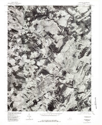
1986 Map of Buena Vista
USGS Topo · Published 1986About this map
The James River and Maury River systems define the central landscape of this mid-1980s survey, where the Shenandoah Valley meets the dramatic ridges of the Blue Ridge and Allegheny Mountains. The map is particularly notable for its concentration of higher education institutions, documenting the campuses of Washington and Lee University, Virginia Military Institute, Southern Seminary College, and Sweet Briar College. This academic core is surrounded by an extensive network of public lands, including the George Washington National Forest and the Jefferson National Forest.
Find a feature on this map
163 named features on this map. Tap any name to fly to it.
Don’t see what you’re looking for? This feature index may not catch every label — zoom into the map to look around manually.
Map Details
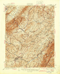
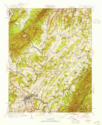
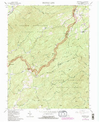
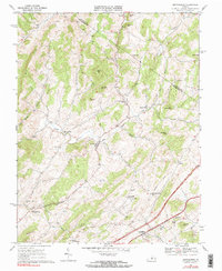
Editions of this 1986 Buena Vista Map
2 editions found
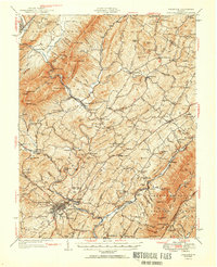
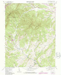
Historical Maps of Lexington Through Time
20 maps found

1932 Lexington
Rockbridge County, VA
1937 Lexington
Rockbridge County, VA
1950 Lexington
Rockbridge County, VA
1951 Lexington
Rockbridge County, VA
1961 Natural Bridge
Rockbridge County, VA
1965 Montebello
Rockbridge County, VA
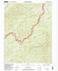
1967 Brownsburg
Rockbridge County, VA
1967 Collierstown
Rockbridge County, VA
1967 Cornwall
Rockbridge County, VA

1967 Lexington
Rockbridge County, VA
1977 Lexington
Rockbridge County, VA
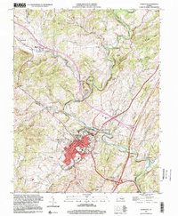
1986 Buena Vista
Rockbridge County, VA
1999 Lexington
Rockbridge County, VA
1999 Montebello
Rockbridge County, VA
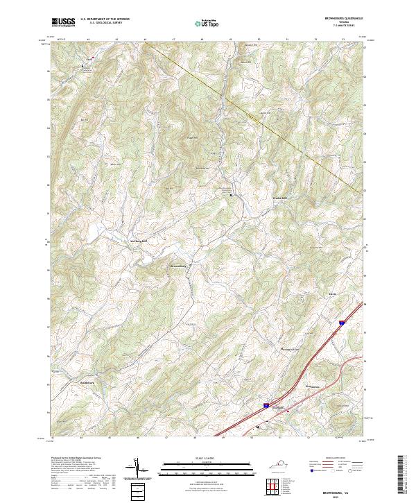
2022 Brownsburg
Rockbridge County, VA
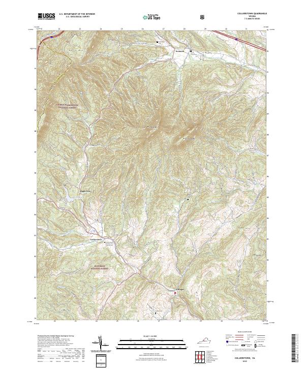
2022 Collierstown
Rockbridge County, VA
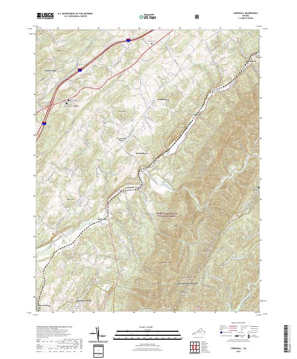
2022 Cornwall
Rockbridge County, VA
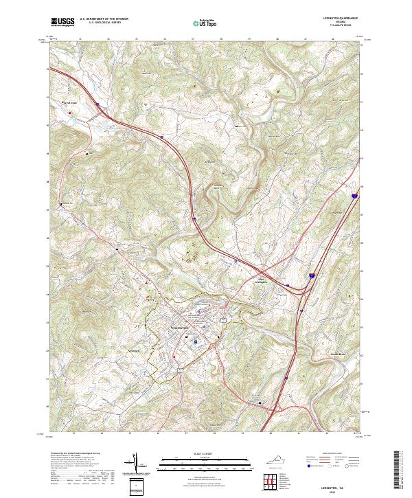
2022 Lexington
Rockbridge County, VA
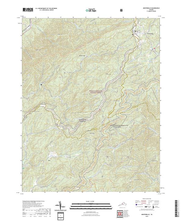
2022 Montebello
Rockbridge County, VA
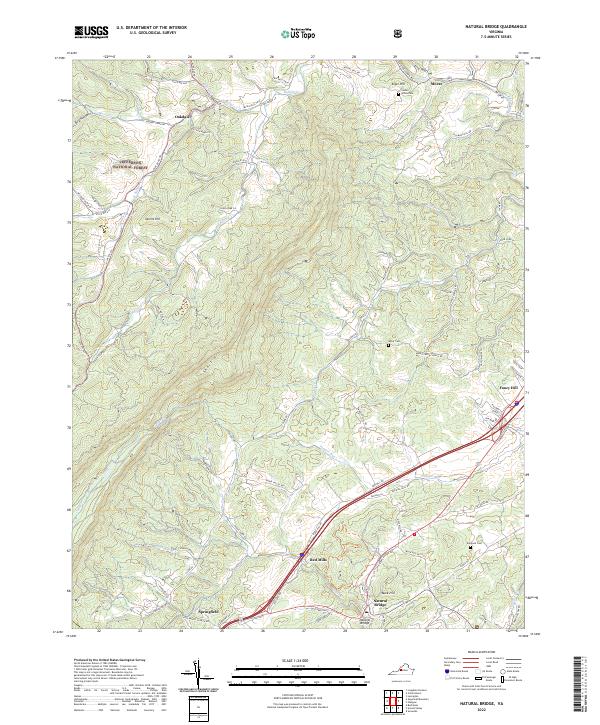
2022 Natural Bridge
Rockbridge County, VA