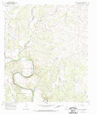
1967 Map of Buffalo Bluff
USGS Topo · Published 1970About this map
The Colorado River carves a winding path through the heart of Runnels County, defining the landscape with prominent elevations like Buffalo Bluff and Herrings Bluff. This late-1960s survey documents a region where ranching and early energy extraction intersect. The northern boundary is marked by the A T & S F railroad line, while several pipelines traverse the hills, connecting scattered industrial sites such as an Oil Well and a Gas Well.
Find a feature on this map
21 named features on this map. Tap any name to fly to it.
Don’t see what you’re looking for? This feature index may not catch every label — zoom into the map to look around manually.
Map Details
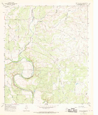
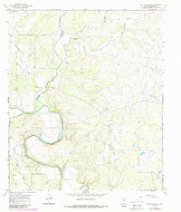
Editions of this 1967 Buffalo Bluff Map
3 editions found
Other maps of this area

1892 · Ballinger
USGS Topo · 1:125,000

1921 · Hatchel
USGS Topo · 1:31,680

1921 · Spur Creek
USGS Topo · 1:31,680

1925 · Ballinger 3-d
USGS Topo · 1:48,000

1925 · Ballinger 4-c
USGS Topo · 1:48,000

1932 · Voss
USGS Topo · 1:62,500

1932 · Paint Rock
USGS Topo · 1:62,500

1954 · Brownwood
USGS Topo · 1:250,000
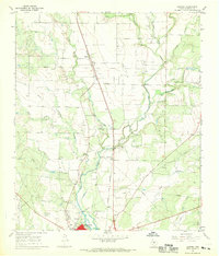
1967 · Hatchel
USGS Topo · 1:24,000

1967 · Talpa
USGS Topo · 1:24,000