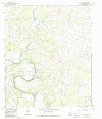
1967 Map of Buffalo Bluff
USGS Topo · Published 1988About this map
The winding Colorado River carves a deep path through Runnels County, dominated by a series of prominent river overlooks including Herrings Bluff, Wilson Bluff, and Buffalo Bluff. This mid-century landscape is defined by the sharp transition between the river's alluvial path and the surrounding uplands, where tributaries like Mustang Creek and Butternut Creek feed into the main waterway. Local history and genealogy are anchored at the Hoffman Cem, located near the southern bends of the river, while the regional economy is represented by scattered infrastructure such as the At&SF railroad line in the northwest corner and emerging energy extraction sites marked as Oil Well and Gas Well. The survey captures a distinct mix of ranching land, noted by fine fence lines, and the natural drainage patterns of Spring Hollow and Live Oak Creek.
Find a feature on this map
21 named features on this map. Tap any name to fly to it.
Don’t see what you’re looking for? This feature index may not catch every label — zoom into the map to look around manually.
Map Details
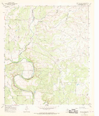
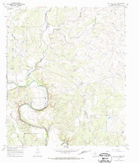
Editions of this 1967 Buffalo Bluff Map
3 editions found
Other maps of this area

1892 · Ballinger
USGS Topo · 1:125,000

1921 · Hatchel
USGS Topo · 1:31,680

1921 · Spur Creek
USGS Topo · 1:31,680

1925 · Ballinger 3-d
USGS Topo · 1:48,000

1925 · Ballinger 4-c
USGS Topo · 1:48,000

1932 · Voss
USGS Topo · 1:62,500

1932 · Paint Rock
USGS Topo · 1:62,500

1954 · Brownwood
USGS Topo · 1:250,000
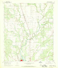
1967 · Hatchel
USGS Topo · 1:24,000

1967 · Talpa
USGS Topo · 1:24,000