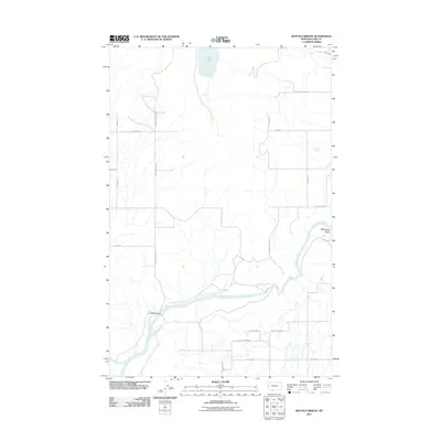
2011 Map of Buffalo Bridge
USGS Topo · Published 2011About this map
The Flathead River carves through the landscape of Lake County, Montana, serving as the central geographic feature of this 2011 survey. The settlement of Buffalo Bridge sits along its banks, marking a key crossing point that anchors the local road network. To the north, Loon Lake provides a distinct hydrologic contrast to the moving waters of the river and its tributaries like White Earth Creek.
Find a feature on this map
20 named features on this map. Tap any name to fly to it.
Don’t see what you’re looking for? This feature index may not catch every label — zoom into the map to look around manually.
Map Details
Editions of this 2011 Buffalo Bridge Map
This is the sole edition of this map. No revisions or reprints were ever made.
Other maps of this area

1920 · Flathead Lake
USGS Topo · 1:125,000

1956 · Wallace
USGS Topo · 1:250,000

1960 · Wallace
USGS Topo · 1:250,000

1964 · Buffalo Bridge
USGS Topo · 1:24,000

1964 · Wild Horse Island
USGS Topo · 1:24,000

1964 · Irvine Lookout Tower
USGS Topo · 1:24,000

1964 · Elmo
USGS Topo · 1:24,000

1964 · Polson
USGS Topo · 1:24,000

1964 · Lower Crow Reservoir
USGS Topo · 1:24,000

1965 · Oliver Point
USGS Topo · 1:24,000