
1965 Map of Oliver Point
USGS Topo · Published 1967About this map
The Little Bitterroot River winds through this mid-century landscape along the border of Lake and Sanders Counties. This 1965 field check reveals a high-elevation terrain punctuated by vital water sources, including Sullivan Spring, Magpie Spring, and several Flowing Well sites located in the southern draws. The area is characterized by its agricultural and resource-based infrastructure, evidenced by a Corral and a Gravel Pit situated near the head of the drainage systems.
Find a feature on this map
14 named features on this map. Tap any name to fly to it.
Don’t see what you’re looking for? This feature index may not catch every label — zoom into the map to look around manually.
Map Details
Editions of this 1965 Oliver Point Map
This is the sole edition of this map. No revisions or reprints were ever made.
Other maps of this area

1920 · Flathead Lake
USGS Topo · 1:125,000

1956 · Wallace
USGS Topo · 1:250,000

1959 · Perma
USGS Topo · 1:62,500

1960 · Wallace
USGS Topo · 1:250,000

1964 · Buffalo Bridge
USGS Topo · 1:24,000

1964 · Melton Ranch
USGS Topo · 1:24,000

1964 · Markle Pass
USGS Topo · 1:24,000
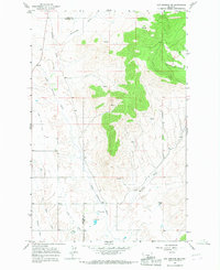
1964 · Hot Springs NE
USGS Topo · 1:24,000

1965 · Sloan
USGS Topo · 1:24,000
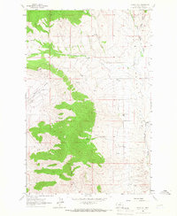
1965 · Irvine Hill
USGS Topo · 1:24,000