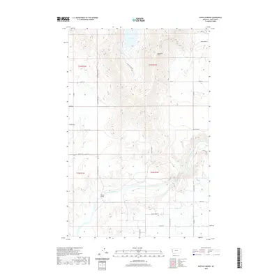
2020 Map of Buffalo Bridge
USGS Topo · Published 2020About this map
The Flathead River winds through the southern reaches of this Lake County landscape, serving as a primary geographical anchor near the crossing at Buffalo Bridge. To the north, the terrain transitions into the high-elevation basin of Loon Lake, while the western portion of the map is defined by the open expanse of Irvine Flats. This 2020 survey illustrates a contemporary rural network where modern road names like Loon Lake Ranch Rd and Jumping Horse Ln reflect a long-standing ranching tradition. The topography is marked by significant drainages such as Weythman Gulch and the distinct contours along River Breaks Ln, illustrating the complex relationship between the river corridor and the surrounding uplands in this part of Montana.
Find a feature on this map
28 named features on this map. Tap any name to fly to it.
Don’t see what you’re looking for? This feature index may not catch every label — zoom into the map to look around manually.
Map Details
Editions of this 2020 Buffalo Bridge Map
This is the sole edition of this map. No revisions or reprints were ever made.
Other maps of this area

1920 · Flathead Lake
USGS Topo · 1:125,000

1956 · Wallace
USGS Topo · 1:250,000

1960 · Wallace
USGS Topo · 1:250,000

1964 · Buffalo Bridge
USGS Topo · 1:24,000

1964 · Wild Horse Island
USGS Topo · 1:24,000

1964 · Irvine Lookout Tower
USGS Topo · 1:24,000

1964 · Elmo
USGS Topo · 1:24,000

1964 · Polson
USGS Topo · 1:24,000

1964 · Lower Crow Reservoir
USGS Topo · 1:24,000

1965 · Oliver Point
USGS Topo · 1:24,000