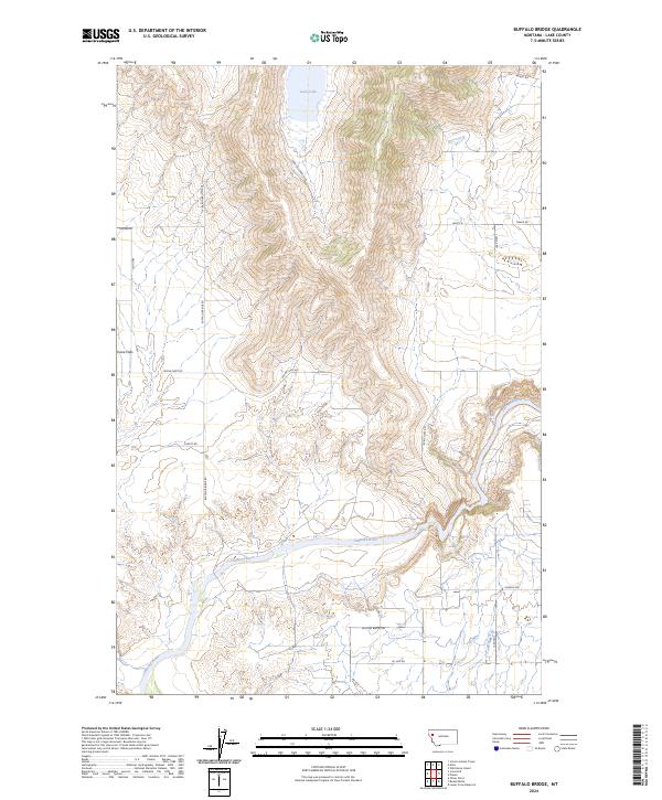
2024 Map of Buffalo Bridge
USGS Topo · Published 2024About this map
The Flathead River meanders across the southern landscape of this Lake County region, defining the drainage patterns south of Loon Lake. The settlement of Irvine Flats serves as a primary point of reference in a territory marked by a network of ranch and access roads that follow the natural contours of the valley. This 2024 USGS survey details the modern infrastructure and land divisions of the area, illustrating how historic transport routes like Buffalo Bridge Rd and Irvine Flats Rd connect the high plateaus to the river basin. The map provides a clear look at the intersection of private land use and the natural hydrology of the Montana interior, including family-named landmarks such as Pickett Rd and Eli Gap Rd which indicate long-standing local history and settlement patterns.
Find a feature on this map
21 named features on this map. Tap any name to fly to it.
Don’t see what you’re looking for? This feature index may not catch every label — zoom into the map to look around manually.
Map Details
Editions of this 2024 Buffalo Bridge Map
This is the sole edition of this map. No revisions or reprints were ever made.
Other maps of this area

1920 · Flathead Lake
USGS Topo · 1:125,000

1956 · Wallace
USGS Topo · 1:250,000

1960 · Wallace
USGS Topo · 1:250,000

1964 · Buffalo Bridge
USGS Topo · 1:24,000

1964 · Wild Horse Island
USGS Topo · 1:24,000

1964 · Irvine Lookout Tower
USGS Topo · 1:24,000

1964 · Elmo
USGS Topo · 1:24,000

1964 · Polson
USGS Topo · 1:24,000

1964 · Lower Crow Reservoir
USGS Topo · 1:24,000

1965 · Oliver Point
USGS Topo · 1:24,000