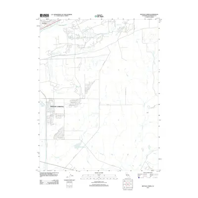
2012 Map of Buffalo Creek
USGS Topo · Published 2012About this map
Rancho Cordova and Gold River anchor the suburban landscape of eastern Sacramento County in this early 21st-century record. The map reveals a complex water management and drainage system, characterized by the Rebel Hill Ditch and several seasonal watercourses including Buffalo Cr, Morrison Cr, and Laguna Cr. While the western portion of the area shows significant residential development through intricate street networks like Anatolia Dr and Rancho Cordova Pkwy, the eastern half remains largely open land. Significant hydrological features such as Blodgett Reservoir and Mather Lake serve as local landmarks. The transition from established neighborhoods to the drainage basins of Deer Cr and Coyote Cr illustrates the edge of the Sacramento metropolitan expansion during this period.
Find a feature on this map
47 named features on this map. Tap any name to fly to it.
Don’t see what you’re looking for? This feature index may not catch every label — zoom into the map to look around manually.
Map Details
Editions of this 2012 Buffalo Creek Map
This is the sole edition of this map. No revisions or reprints were ever made.
Other maps of this area

1891 · Sacramento
USGS Topo · 1:125,000

1892 · Sacramento
USGS Topo · 1:125,000

1893 · Sacramento
USGS Topo · 1:125,000

1894 · Lodi
USGS Topo · 1:125,000

1902 · Fairoaks
USGS Topo · 1:62,500

1908 · Buffalo Creek
USGS Topo · 1:31,680

1909 · Elk Grove
USGS Topo · 1:31,680

1909 · Carbondale
USGS Topo · 1:31,680

1909 · Cosumnes
USGS Topo · 1:31,680

1911 · Mills
USGS Topo · 1:31,680