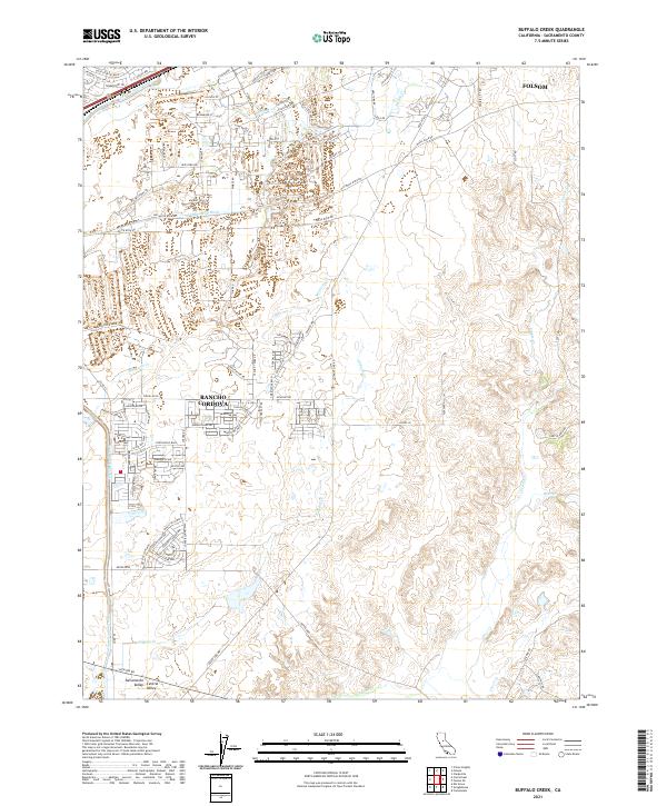
2021 Map of Buffalo Creek
USGS Topo · Published 2021About this map
Rancho Cordova and the southern outskirts of Folsom anchor this modern topographical study, revealing the evolving suburban and industrial footprint in the Sacramento Valley. The landscape is defined by its sophisticated water management infrastructure, most notably the prominent Folsom South Canal and the Rebel Hill Ditch. These man-made features cut across the natural drainage systems of the Central Valley, intersecting various waterways including Morrison Cr, Laguna Cr, and Buffalo Cr.
Find a feature on this map
91 named features on this map. Tap any name to fly to it.
Don’t see what you’re looking for? This feature index may not catch every label — zoom into the map to look around manually.
Map Details
Editions of this 2021 Buffalo Creek Map
This is the sole edition of this map. No revisions or reprints were ever made.
Other maps of this area

1891 · Sacramento
USGS Topo · 1:125,000

1892 · Sacramento
USGS Topo · 1:125,000

1893 · Sacramento
USGS Topo · 1:125,000

1894 · Lodi
USGS Topo · 1:125,000

1902 · Fairoaks
USGS Topo · 1:62,500

1908 · Buffalo Creek
USGS Topo · 1:31,680

1909 · Elk Grove
USGS Topo · 1:31,680

1909 · Carbondale
USGS Topo · 1:31,680

1909 · Cosumnes
USGS Topo · 1:31,680

1911 · Mills
USGS Topo · 1:31,680