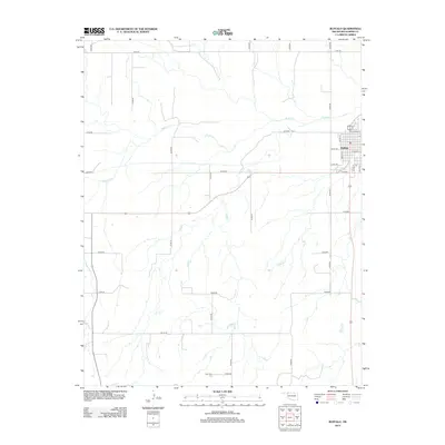
2012 Map of Buffalo
USGS Topo · Published 2012About this map
Buffalo serves as the central point of this 2012 survey in Harper County, reflecting the organized grid of a High Plains prairie community. The town is situated just south of the meandering Buffalo Cr, which cuts through the northern section of the terrain. The landscape is defined by a dense network of section line roads, including N1840 Rd and E0100 Rd, which facilitate the region's agricultural and ranching operations. To the south, the Gyp Valley Cem stands as a notable landmark near the banks of Rodkeys Cr, providing a primary point of interest for those tracing local family histories. The street names in the town core, such as E Brule St and E Harper St, offer specific coordinates for genealogists and researchers looking to pinpoint residential and commercial locations as they existed at the start of the decade.
Find a feature on this map
28 named features on this map. Tap any name to fly to it.
Don’t see what you’re looking for? This feature index may not catch every label — zoom into the map to look around manually.
Map Details
Editions of this 2012 Buffalo Map
This is the sole edition of this map. No revisions or reprints were ever made.
Other maps of this area

1955 · Woodward
USGS Topo · 1:250,000

1958 · Woodward
USGS Topo · 1:250,000

1970 · Buffalo SE
USGS Topo · 1:24,000

1970 · Buffalo NW
USGS Topo · 1:24,000

1970 · Rosston NE
USGS Topo · 1:24,000

1970 · Buffalo NE
USGS Topo · 1:24,000

1970 · Buffalo
USGS Topo · 1:24,000

1971 · Rosston SE
USGS Topo · 1:24,000

1971 · Fort Supply NW
USGS Topo · 1:24,000

1971 · Fort Supply NE
USGS Topo · 1:24,000