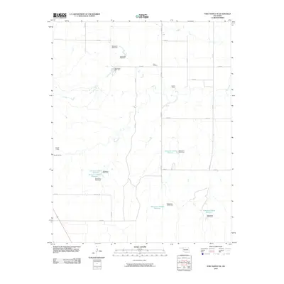
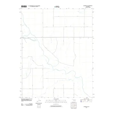
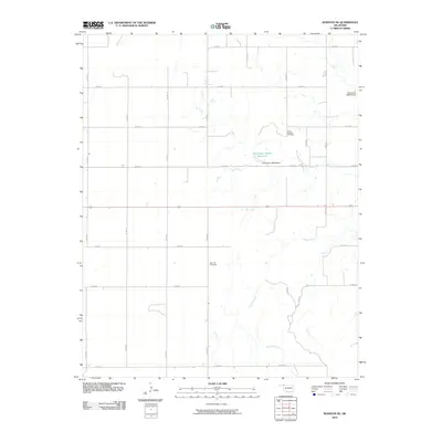
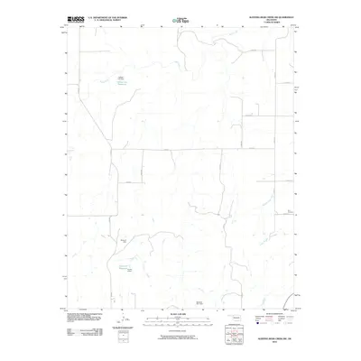
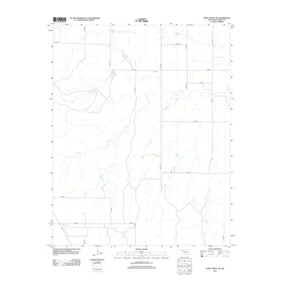
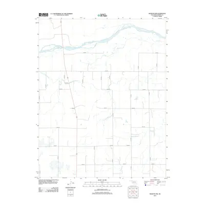
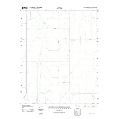
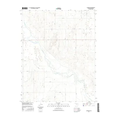
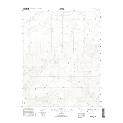
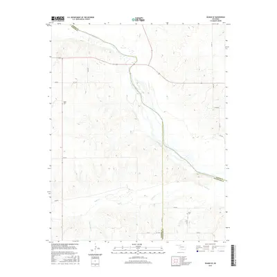
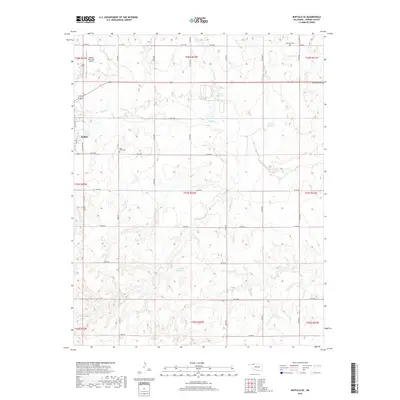
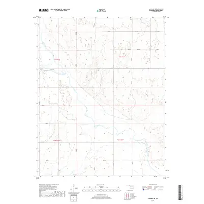
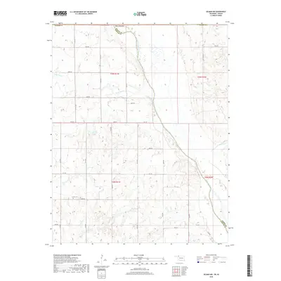
1970 Map of Rosston NE
USGS Topo · Published 1973About this map
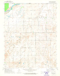
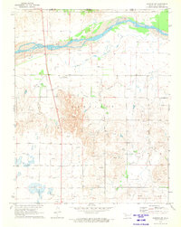
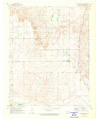
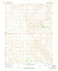
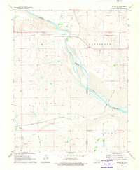
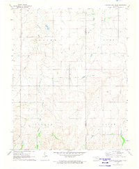
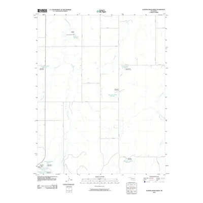
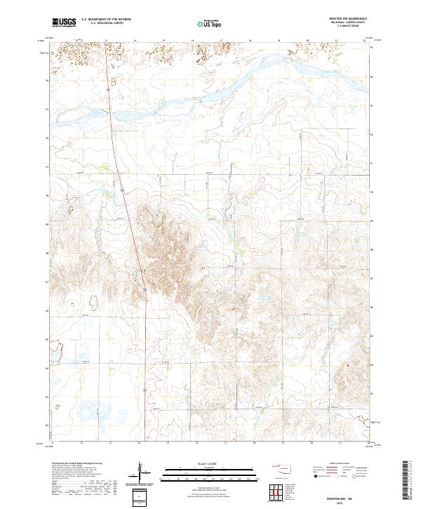
The Cimarron River cuts through the northwest corner of this 1970 landscape, marking the boundary between Clark County, Kansas, and Harper County, Oklahoma. The terrain is defined by the drainage networks of Stink Creek, Spring Creek, and Redoubt Creek, which carve through the plains. A significant piece of local infrastructure, the Old Settlers Irr Ditch, appears in the western portion of the map, reflecting early efforts to manage water in this arid region. The rural character of the area is further emphasized by the Pleasant Valley Cem and the widespread distribution of Gas Wells and an occasional Oil Well, signaling the era's active energy extraction. Local industry is also represented by a Caliche Pit in the southeastern quadrant, a common source of road-building material for the rural townships of Adams and Wilson.
Find a feature on this map
12 named features on this map. Tap any name to fly to it.
Don’t see what you’re looking for? This feature index may not catch every label — zoom into the map to look around manually.
Map Details
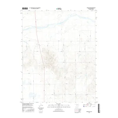
Editions of this 1970 Rosston NE Map
This is the sole edition of this map. No revisions or reprints were ever made.
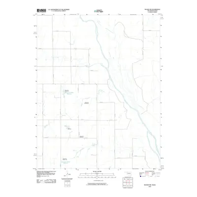
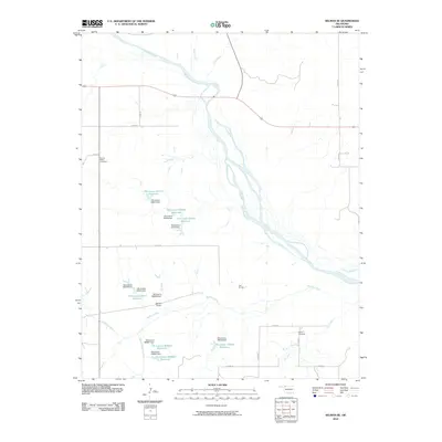
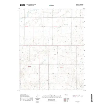
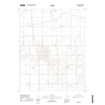
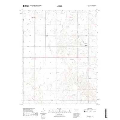
Historical Maps of Harper County Through Time
78 maps found
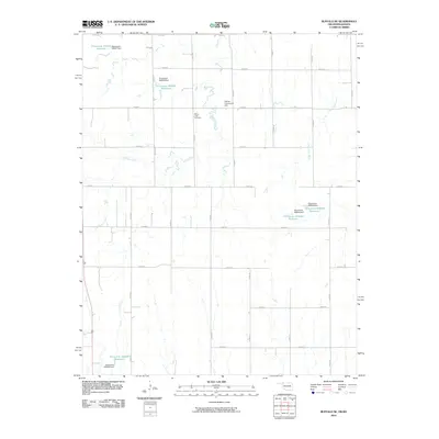
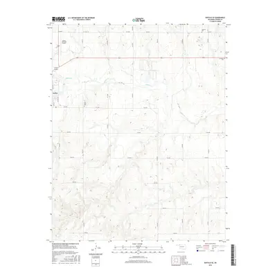
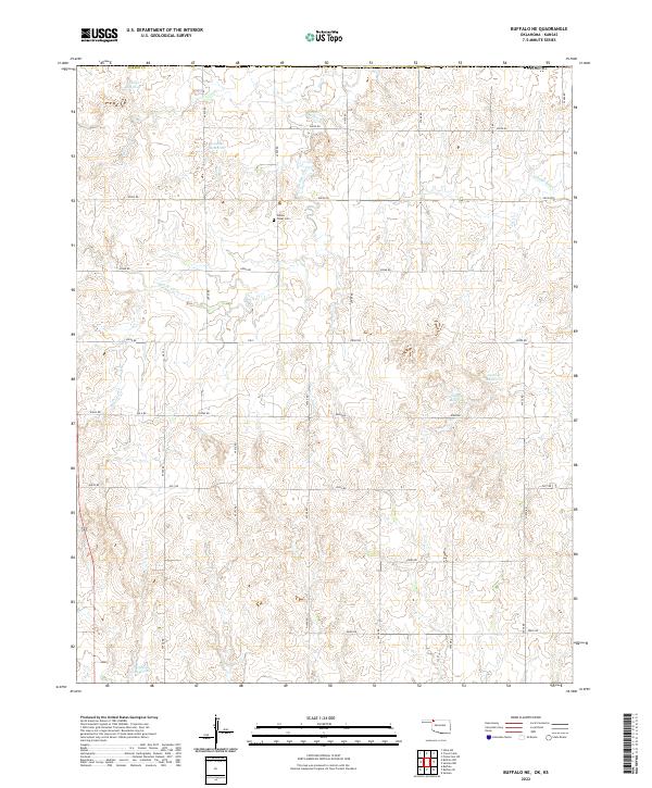
1970 Buffalo NE
Harper County, OK
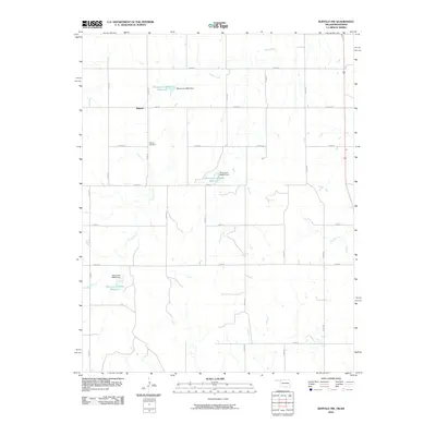
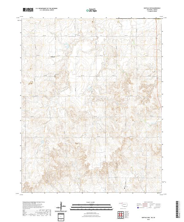
1970 Buffalo NW
Harper County, OK
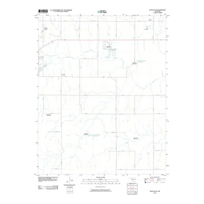
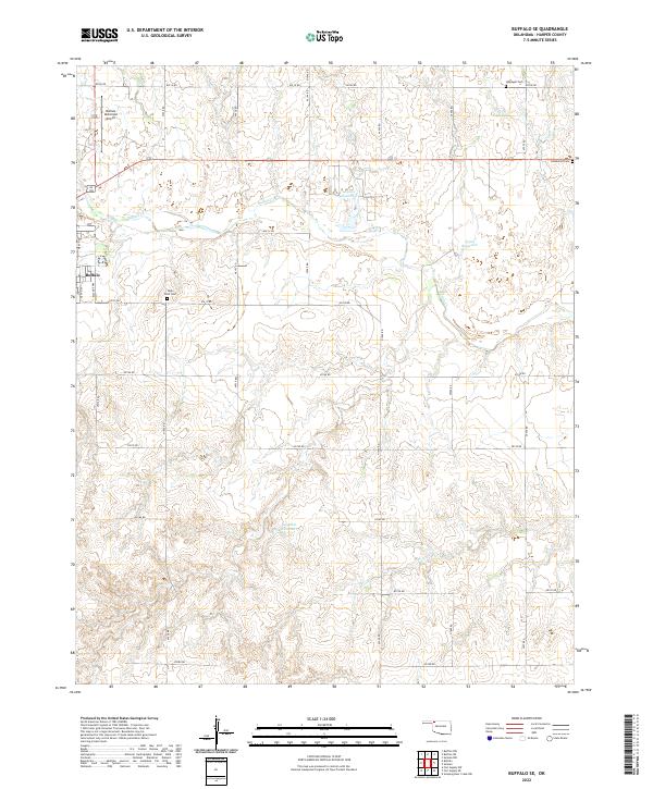
1970 Buffalo SE
Harper County, OK
1970 Rosston NE
Harper County, OK
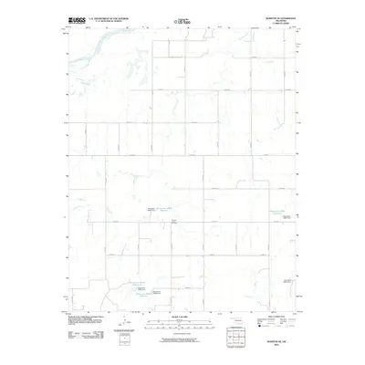
1970 Rosston NW
Harper County, OK
1970 Selman NW
Harper County, OK
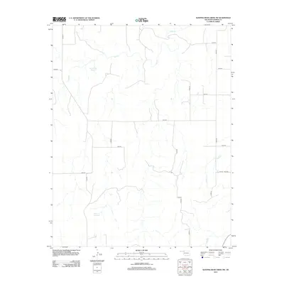
1970 Sleeping Bear Creek NW
Harper County, OK
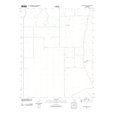
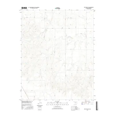
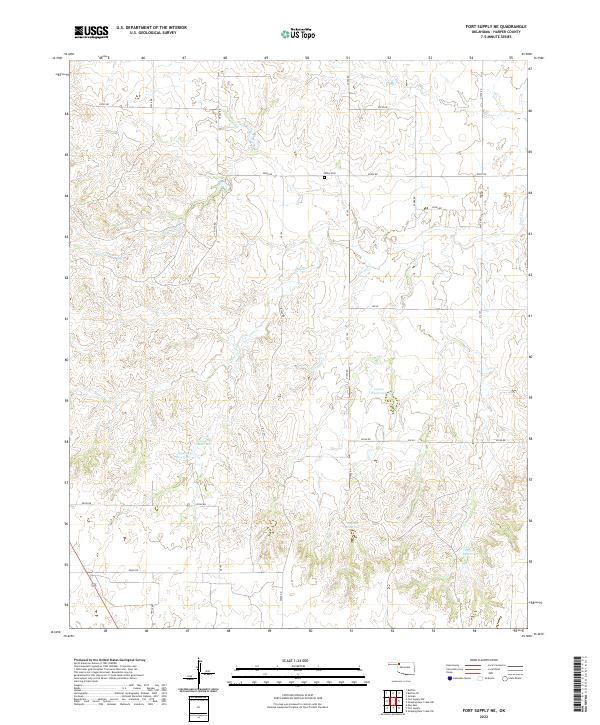
1971 Fort Supply NE
Harper County, OK
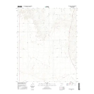
1971 Fort Supply NW
Harper County, OK

1971 Laverne NE
Harper County, OK
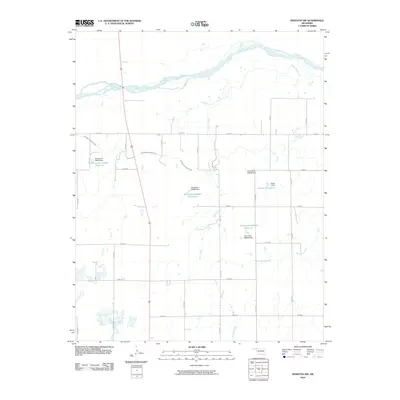
1971 Rosston SE
Harper County, OK
1971 Selman SE
Harper County, OK
1971 Sleeping Bear Creek
Harper County, OK
2010 Buffalo NE
Harper County, OK
2010 Buffalo NW
Harper County, OK
2010 Buffalo SE
Harper County, OK
2010 Fort Supply NE
Harper County, OK
2010 Fort Supply NW
Harper County, OK
2010 Laverne NE
Harper County, OK
2010 Rosston NE
Harper County, OK
2010 Rosston NW
Harper County, OK
2010 Rosston SE
Harper County, OK
2010 Selman NW
Harper County, OK
2010 Selman SE
Harper County, OK
2010 Sleeping Bear Creek
Harper County, OK
2010 Sleeping Bear Creek NW
Harper County, OK
2012 Buffalo NE
Harper County, OK
2012 Buffalo NW
Harper County, OK
2012 Buffalo SE
Harper County, OK
2012 Fort Supply NE
Harper County, OK
2012 Fort Supply NW
Harper County, OK
2012 Laverne NE
Harper County, OK
2012 Rosston NE
Harper County, OK
2012 Rosston NW
Harper County, OK
2012 Rosston SE
Harper County, OK
2012 Selman NW
Harper County, OK
2012 Selman SE
Harper County, OK
2012 Sleeping Bear Creek
Harper County, OK
2012 Sleeping Bear Creek NW
Harper County, OK
2016 Buffalo NE
Harper County, OK
2016 Buffalo NW
Harper County, OK
2016 Buffalo SE
Harper County, OK
2016 Fort Supply NE
Harper County, OK
2016 Fort Supply NW
Harper County, OK
2016 Laverne NE
Harper County, OK
2016 Rosston NE
Harper County, OK
2016 Rosston NW
Harper County, OK
2016 Rosston SE
Harper County, OK
2016 Selman NW
Harper County, OK
2016 Selman SE
Harper County, OK
2016 Sleeping Bear Creek
Harper County, OK
2016 Sleeping Bear Creek NW
Harper County, OK
2018 Buffalo NE
Harper County, OK
2018 Buffalo NW
Harper County, OK
2018 Buffalo SE
Harper County, OK
2018 Fort Supply NE
Harper County, OK
2018 Fort Supply NW
Harper County, OK
2018 Laverne NE
Harper County, OK
2018 Rosston NE
Harper County, OK
2018 Rosston NW
Harper County, OK
2018 Rosston SE
Harper County, OK
2018 Selman NW
Harper County, OK
2018 Selman SE
Harper County, OK
2018 Sleeping Bear Creek
Harper County, OK
2018 Sleeping Bear Creek NW
Harper County, OK
2022 Buffalo NE
Harper County, OK
2022 Buffalo NW
Harper County, OK
2022 Buffalo SE
Harper County, OK
2022 Fort Supply NE
Harper County, OK
2022 Fort Supply NW
Harper County, OK
2022 Laverne NE
Harper County, OK
2022 Rosston NE
Harper County, OK
2022 Rosston NW
Harper County, OK
2022 Rosston SE
Harper County, OK
2022 Selman NW
Harper County, OK
2022 Selman SE
Harper County, OK
2022 Sleeping Bear Creek
Harper County, OK
2022 Sleeping Bear Creek NW
Harper County, OK