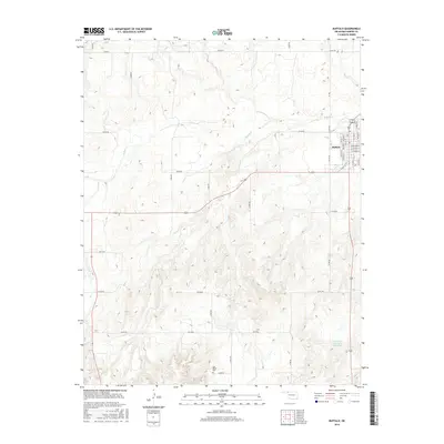
2016 Map of Buffalo
USGS Topo · Published 2016About this map
Buffalo serves as the focal point of this northwestern Oklahoma landscape, situated where several local drainage systems meet. The town's structured street grid, including Maple Dr and Stone City Dr, contrasts with the winding paths of Buffalo Cr and Rodkeys Cr that navigate the surrounding terrain. This survey provides a look at the rural infrastructure of the region, emphasizing the importance of water management through features such as the R Wickham Number 1 Reservoir located to the southeast. Further south, the Gyp Valley Cem offers a point of interest for genealogists and local historians, sitting along the section line roads that define the region's agricultural layout. The map's detailed topography reveals the subtle shifts in elevation that dictate the flow of the creeks through this prairie environment.
Find a feature on this map
37 named features on this map. Tap any name to fly to it.
Don’t see what you’re looking for? This feature index may not catch every label — zoom into the map to look around manually.
Map Details
Editions of this 2016 Buffalo Map
This is the sole edition of this map. No revisions or reprints were ever made.
Other maps of this area

1955 · Woodward
USGS Topo · 1:250,000

1958 · Woodward
USGS Topo · 1:250,000

1970 · Buffalo SE
USGS Topo · 1:24,000

1970 · Buffalo NW
USGS Topo · 1:24,000

1970 · Rosston NE
USGS Topo · 1:24,000

1970 · Buffalo NE
USGS Topo · 1:24,000

1970 · Buffalo
USGS Topo · 1:24,000

1971 · Rosston SE
USGS Topo · 1:24,000

1971 · Fort Supply NW
USGS Topo · 1:24,000

1971 · Fort Supply NE
USGS Topo · 1:24,000