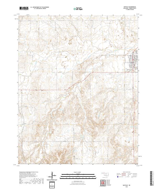
2022 Map of Buffalo
USGS Topo · Published 2022About this map
Buffalo serves as the focal point of this Northwest Oklahoma landscape, situated at the junction of several regional routes and serving as the seat of local government. The town's grid is anchored by the Harper County Courthouse, surrounded by a residential network including NE 4th St and Maple Dr. The surrounding terrain transitions from the developed town site into the open draws of Gyp Valley, where the Gyp Valley Cem stands as a quiet marker of the area's rural heritage.
Find a feature on this map
47 named features on this map. Tap any name to fly to it.
Don’t see what you’re looking for? This feature index may not catch every label — zoom into the map to look around manually.
Map Details
Editions of this 2022 Buffalo Map
This is the sole edition of this map. No revisions or reprints were ever made.
Other maps of this area

1955 · Woodward
USGS Topo · 1:250,000

1958 · Woodward
USGS Topo · 1:250,000

1970 · Buffalo SE
USGS Topo · 1:24,000

1970 · Buffalo NW
USGS Topo · 1:24,000

1970 · Rosston NE
USGS Topo · 1:24,000

1970 · Buffalo NE
USGS Topo · 1:24,000

1970 · Buffalo
USGS Topo · 1:24,000

1971 · Rosston SE
USGS Topo · 1:24,000

1971 · Fort Supply NW
USGS Topo · 1:24,000

1971 · Fort Supply NE
USGS Topo · 1:24,000