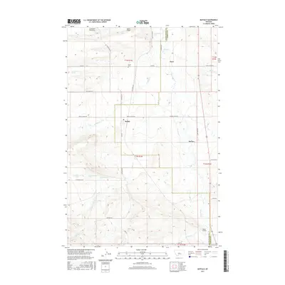
2017 Map of Buffalo
USGS Topo · Published 2017About this map
The Little Belt Mountains form a topographic backdrop to this central Montana landscape where the plains of Fergus Co and Judith Basin Co meet. The settlement of Buffalo serves as a primary hub for this agricultural and ranching region, connected by a network of rural routes including Buffalo Canyon Rd and 1st St W. To the north, the small community of Straw is situated near the headwaters of Buffalo Cr, illustrating the historical importance of water access in the semi-arid northern plains. The drainage patterns of Ross Fork Cr and Mud Cr define the local topography, carving out coulees like Weber Coulee and Monk Coulee. Genealogists may find interest in the documented locations of Buffalo Cem and the Garnetill Cem situated near the southeastern border. The map also records several specific water sources, such as the 12N15E20BC 03 Spring, which were vital for sustaining the isolated homesteads and ranching operations of the era.
Find a feature on this map
43 named features on this map. Tap any name to fly to it.
Don’t see what you’re looking for? This feature index may not catch every label — zoom into the map to look around manually.
Map Details
Editions of this 2017 Buffalo Map
This is the sole edition of this map. No revisions or reprints were ever made.
Other maps of this area

1889 · Big Snowy Mountain
USGS Topo · 1:250,000

1893 · Big Snowy Mountain
USGS Topo · 1:250,000

1954 · Roundup
USGS Topo · 1:250,000

1958 · Roundup
USGS Topo · 1:250,000
1970 · Buffalo
USGS Topo · 1:24,000

1970 · Moore
USGS Topo · 1:24,000
1970 · Martin Coulee
USGS Topo · 1:24,000
1970 · Ackley Lake
USGS Topo · 1:24,000
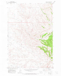
1970 · Moore SW
USGS Topo · 1:24,000
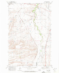
1970 · Sipple
USGS Topo · 1:24,000