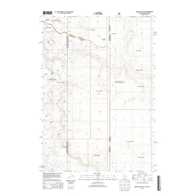
2013 Map of Buffalo Lake NE
USGS Topo · Published 2013About this map
The high mountain borderlands of Montana, Idaho, and Wyoming converge here, where the Yellowstone National Park boundary meets both the Gallatin National Forest and Targhee National Forest. The landscape is dominated by the massive landforms of the Moose Creek Plateau in the northwest and the Madison Plateau to the south. This 2013 topographic survey highlights the complex drainage systems that carve through these plateaus, including the steep-walled Black Bear Canyon and Echo Canyon.
Find a feature on this map
21 named features on this map. Tap any name to fly to it.
Don’t see what you’re looking for? This feature index may not catch every label — zoom into the map to look around manually.
Map Details
Editions of this 2013 Buffalo Lake NE Map
This is the sole edition of this map. No revisions or reprints were ever made.
Other maps of this area

1885 · Gallatin
USGS Topo · 1:125,000

1885 · Gallatin
USGS Topo · 1:125,000

1886 · Shoshone
USGS Topo · 1:125,000

1888 · Shoshone
USGS Topo · 1:125,000

1895 · Shoshone
USGS Topo · 1:125,000

1901 · Shoshone
USGS Topo · 1:125,000

1901 · Gallatin
USGS Topo · 1:125,000

1908 · Gallatin
USGS Topo · 1:125,000

1908 · Shoshone
USGS Topo · 1:125,000

1911 · Shoshone
USGS Topo · 1:125,000