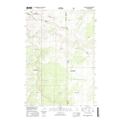
2017 Map of Buffalo Lake NE
USGS Topo · Published 2017About this map
Yellowstone National Park and the adjacent Gallatin National Forest meet at a complex junction of three states, centered on high-altitude tablelands. The Continental Divide winds through this terrain, separating the headwaters of western-flowing streams like Boundary Creek and North Fork Split Creek from the drainage basins of the Madison Plateau. This survey captures the remote intersection of Montana, Idaho, and Wyoming, where political boundaries often follow the logic of the land rather than straight lines.
Find a feature on this map
50 named features on this map. Tap any name to fly to it.
Don’t see what you’re looking for? This feature index may not catch every label — zoom into the map to look around manually.
Map Details
Editions of this 2017 Buffalo Lake NE Map
This is the sole edition of this map. No revisions or reprints were ever made.
Other maps of this area

1885 · Gallatin
USGS Topo · 1:125,000

1885 · Gallatin
USGS Topo · 1:125,000

1886 · Shoshone
USGS Topo · 1:125,000

1888 · Shoshone
USGS Topo · 1:125,000

1895 · Shoshone
USGS Topo · 1:125,000

1901 · Shoshone
USGS Topo · 1:125,000

1901 · Gallatin
USGS Topo · 1:125,000

1908 · Gallatin
USGS Topo · 1:125,000

1908 · Shoshone
USGS Topo · 1:125,000

1911 · Shoshone
USGS Topo · 1:125,000