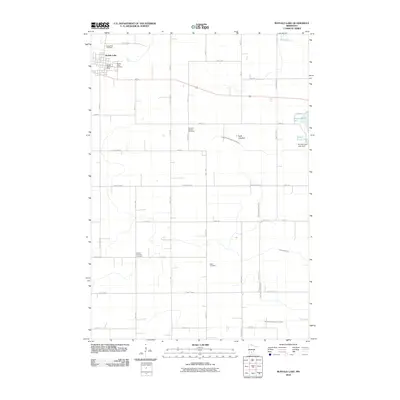
2010 Map of Buffalo Lake
USGS Topo · Published 2010About this map
Buffalo Lake serves as the primary hub in this portion of Renville County, anchored by civic fixtures like the Buffalo Lake Post Office. The surrounding landscape is a testament to meticulous agricultural water management, defined by an intricate network of man-made waterways including County Ditch Number Ten, County Ditch Number Nine, and Judicial Ditch Number Twentyfour. These channels segment the prairie to facilitate drainage into natural features like High Island Creek and Buffalo Creek.
Find a feature on this map
47 named features on this map. Tap any name to fly to it.
Don’t see what you’re looking for? This feature index may not catch every label — zoom into the map to look around manually.
Map Details
Editions of this 2010 Buffalo Lake Map
This is the sole edition of this map. No revisions or reprints were ever made.
Other maps of this area

1953 · New Ulm
USGS Topo · 1:250,000

1957 · New Ulm
USGS Topo · 1:250,000

1958 · New Ulm
USGS Topo · 1:250,000

1958 · Winthrop
USGS Topo · 1:62,500

1958 · Hutchinson
USGS Topo · 1:62,500

1964 · Fairfax
USGS Topo · 1:24,000

1964 · Buffalo Lake
USGS Topo · 1:24,000

1964 · Hector
USGS Topo · 1:24,000

1964 · Gibbon
USGS Topo · 1:24,000

1967 · New Ulm
USGS Topo · 1:250,000