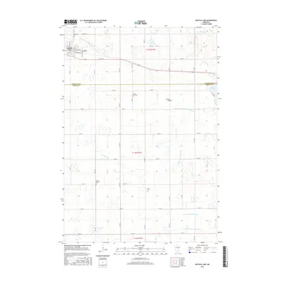
2016 Map of Buffalo Lake
USGS Topo · Published 2016About this map
Buffalo Lake serves as the primary settlement on this agricultural landscape, situated along the northern corridor where Route 212 and the historic E Yellowstone Trl cut across the prairie. The map reveals a high concentration of burial sites that speak to the area's pioneer heritage and family lineages, including Buffalo Lake Cem, Knopke-Brown Cem, United Brethren Cem, and the remote Brack Cem.
Find a feature on this map
56 named features on this map. Tap any name to fly to it.
Don’t see what you’re looking for? This feature index may not catch every label — zoom into the map to look around manually.
Map Details
Editions of this 2016 Buffalo Lake Map
This is the sole edition of this map. No revisions or reprints were ever made.
Other maps of this area

1953 · New Ulm
USGS Topo · 1:250,000

1957 · New Ulm
USGS Topo · 1:250,000

1958 · New Ulm
USGS Topo · 1:250,000

1958 · Winthrop
USGS Topo · 1:62,500

1958 · Hutchinson
USGS Topo · 1:62,500

1964 · Fairfax
USGS Topo · 1:24,000

1964 · Buffalo Lake
USGS Topo · 1:24,000

1964 · Hector
USGS Topo · 1:24,000

1964 · Gibbon
USGS Topo · 1:24,000

1967 · New Ulm
USGS Topo · 1:250,000