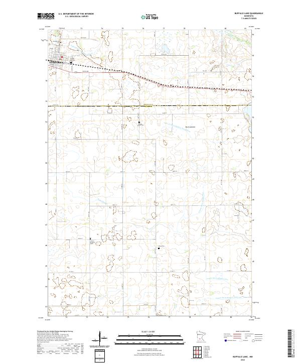
2022 Map of Buffalo Lake
USGS Topo · Published 2022About this map
Buffalo Lake serves as the primary hub of this agricultural landscape along the border of Renville and Sibley Counties. The settlement is characterized by a grid of streets including Main St and E Borden Ave, surrounded by a highly engineered water system designed for prairie drainage. Significant investment in local hydrology is evident through features like Judicial Ditch Number Fifteen and County Ditch Number Thirtyone, which navigate the flat terrain to manage runoff from the Buck Lakebed. For those researching regional family history, the map identifies several distinct burial sites across the townships, from the Buffalo Lake Cem near town to the more isolated Knopke - Brown Cem and Brack Cem. These markers, along with the United Brethren Cem, provide a clear spatial record of early rural congregations and homesteading patterns in the central Minnesota farmland.
Find a feature on this map
55 named features on this map. Tap any name to fly to it.
Don’t see what you’re looking for? This feature index may not catch every label — zoom into the map to look around manually.
Map Details
Editions of this 2022 Buffalo Lake Map
This is the sole edition of this map. No revisions or reprints were ever made.
Other maps of this area

1953 · New Ulm
USGS Topo · 1:250,000

1957 · New Ulm
USGS Topo · 1:250,000

1958 · New Ulm
USGS Topo · 1:250,000

1958 · Winthrop
USGS Topo · 1:62,500

1958 · Hutchinson
USGS Topo · 1:62,500

1964 · Fairfax
USGS Topo · 1:24,000

1964 · Buffalo Lake
USGS Topo · 1:24,000

1964 · Hector
USGS Topo · 1:24,000

1964 · Gibbon
USGS Topo · 1:24,000

1967 · New Ulm
USGS Topo · 1:250,000