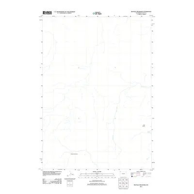
2012 Map of Buffalo Meadows
USGS Topo · Published 2012About this map
Buffalo Meadows characterizes this high-altitude landscape in Teton County, Wyoming, as it appeared in the early 21st century. The map centers on a region defined by its thermal features and complex hydrology, most notably the Imperial Geyser located near the eastern boundary. This area is shaped by a network of drainage systems, including Sentinel Cr which winds through the central portion of the quadrangle, and Fairy Cr in the southeastern corner. The topographical prominence of Twin Buttes stands as a significant landmark above the surrounding meadows, providing a clear indication of the volcanic and glacial forces that have sculpted this portion of the interior West. The absence of roads or developed settlements highlights the preserved natural state of this terrain, where water and geology remain the primary actors.
Find a feature on this map
5 named features on this map. Tap any name to fly to it.
Don’t see what you’re looking for? This feature index may not catch every label — zoom into the map to look around manually.
Map Details
Editions of this 2012 Buffalo Meadows Map
This is the sole edition of this map. No revisions or reprints were ever made.
Other maps of this area

1885 · Gallatin
USGS Topo · 1:125,000

1885 · Gallatin
USGS Topo · 1:125,000

1886 · Shoshone
USGS Topo · 1:125,000

1888 · Shoshone
USGS Topo · 1:125,000

1895 · Shoshone
USGS Topo · 1:125,000

1901 · Shoshone
USGS Topo · 1:125,000

1901 · Gallatin
USGS Topo · 1:125,000

1908 · Gallatin
USGS Topo · 1:125,000

1908 · Shoshone
USGS Topo · 1:125,000

1911 · Shoshone
USGS Topo · 1:125,000