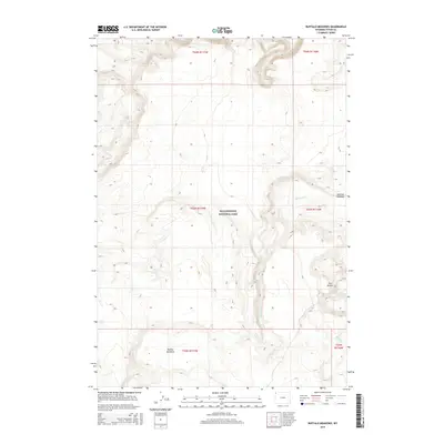
2015 Map of Buffalo Meadows
USGS Topo · Published 2015About this map
Yellowstone National Park terrain defines this section of Teton County, Wyoming, dominated by thermal features and expansive high-country meadows. The landscape is marked by the presence of Imperial Geyser situated near the landmark Twin Buttes. These geographic markers illustrate the geothermal activity inherent to this specific corner of the park, where drainage systems like Sentinel Cr and Fairy Cr cut through the high-elevation flats. The southern portion of the map is anchored by the eponymous Buffalo Meadows, a natural clearing that stands in contrast to the surrounding ridges and timberline. This 2015 U.S. Geological Survey representation provides a detailed record of the hydrography and terrain before subsequent ecological shifts, offering an exact view of the namesake Sentinel Meadows and its surrounding watershed.
Find a feature on this map
13 named features on this map. Tap any name to fly to it.
Don’t see what you’re looking for? This feature index may not catch every label — zoom into the map to look around manually.
Map Details
Editions of this 2015 Buffalo Meadows Map
This is the sole edition of this map. No revisions or reprints were ever made.
Other maps of this area

1885 · Gallatin
USGS Topo · 1:125,000

1885 · Gallatin
USGS Topo · 1:125,000

1886 · Shoshone
USGS Topo · 1:125,000

1888 · Shoshone
USGS Topo · 1:125,000

1895 · Shoshone
USGS Topo · 1:125,000

1901 · Shoshone
USGS Topo · 1:125,000

1901 · Gallatin
USGS Topo · 1:125,000

1908 · Gallatin
USGS Topo · 1:125,000

1908 · Shoshone
USGS Topo · 1:125,000

1911 · Shoshone
USGS Topo · 1:125,000