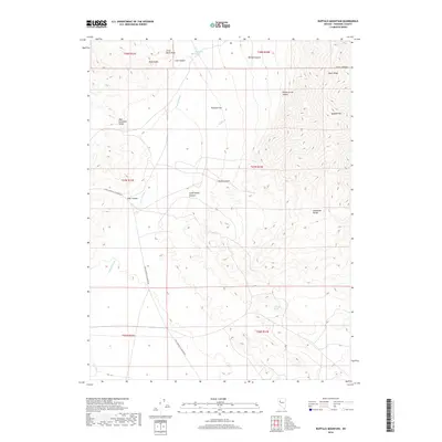
2018 Map of Buffalo Mountain
USGS Topo · Published 2018About this map
Buffalo Mtn dominates the eastern landscape of this Pershing County quadrangle, where the high ridges of the Humboldt Range transition into the arid basins of the high desert. The area is defined by its dramatic topographic relief, carved by complex drainage systems such as Relief Canyon and South Relief Canyon. These features indicate a landscape shaped by significant erosional forces and geological uplift, characteristic of the Great Basin province.
Find a feature on this map
25 named features on this map. Tap any name to fly to it.
Don’t see what you’re looking for? This feature index may not catch every label — zoom into the map to look around manually.
Map Details
Editions of this 2018 Buffalo Mountain Map
This is the sole edition of this map. No revisions or reprints were ever made.
Other maps of this area

1931 · Lovelock
USGS Topo · 1:250,000

1935 · Lovelock
USGS Topo · 1:250,000

1954 · Unionville
USGS Topo · 1:62,500

1954 · Buffalo Mtn
USGS Topo · 1:62,500

1955 · Lovelock
USGS Topo · 1:250,000

1956 · Oreana
USGS Topo · 1:62,500

1956 · Lovelock
USGS Topo · 1:62,500

1959 · Lovelock
USGS Topo · 1:250,000

1984 · Lovelock
USGS Topo · 1:100,000
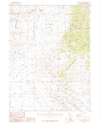
1987 · Buffalo Mountain
USGS Topo · 1:24,000