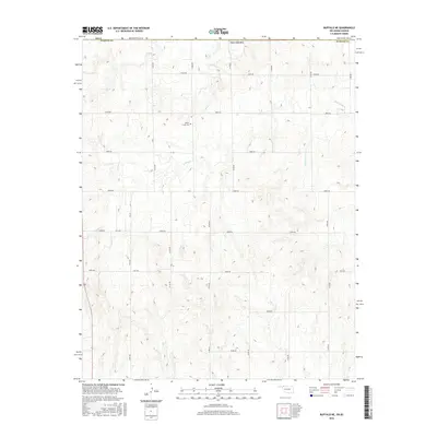
2016 Map of Buffalo NE
USGS Topo · Published 2016About this map
Willow Creek and Lodge Pole Creek define the drainage of this section of Harper County, where the terrain is marked by a network of rural section-line roads. The landscape is primarily defined by its hydrology, with small tributaries branching out across the plains to support local agricultural activity. A notable site for local historians is the Willow Creek Cemetery, which sits just off E0030 Road near a bend in its namesake creek. This 2016 survey illustrates the persistent rural grid of the Oklahoma Panhandle region, showing the continued importance of numbered routes like N1930 Road and E0060 Road in connecting the isolated farmsteads and open ranges of the Great Plains.
Find a feature on this map
26 named features on this map. Tap any name to fly to it.
Don’t see what you’re looking for? This feature index may not catch every label — zoom into the map to look around manually.
Map Details
Editions of this 2016 Buffalo NE Map
This is the sole edition of this map. No revisions or reprints were ever made.
Other maps of this area

1892 · Coldwater
USGS Topo · 1:125,000

1894 · Sitka
USGS Topo · 1:62,500

1896 · Ashland
USGS Topo · 1:125,000

1955 · Woodward
USGS Topo · 1:250,000

1955 · Pratt
USGS Topo · 1:250,000

1958 · Woodward
USGS Topo · 1:250,000

1959 · Pratt
USGS Topo · 1:250,000

1970 · Buffalo SE
USGS Topo · 1:24,000

1970 · Selman NW
USGS Topo · 1:24,000

1970 · Buffalo NW
USGS Topo · 1:24,000