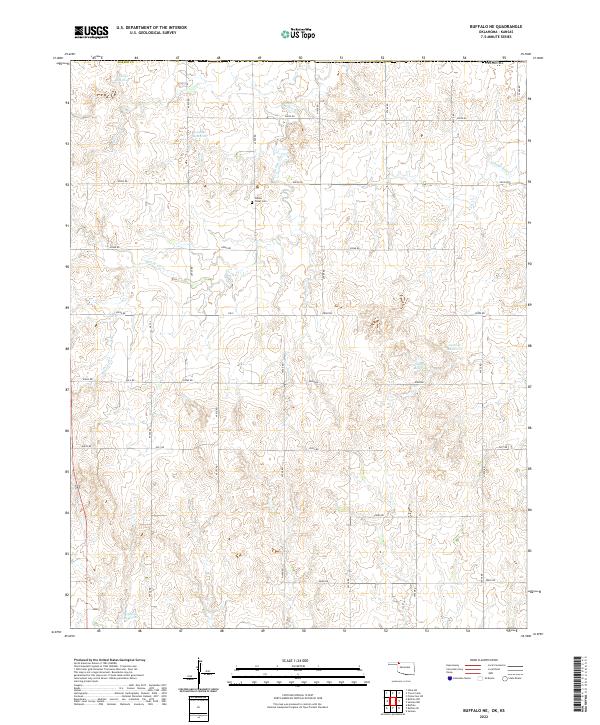
2022 Map of Buffalo NE
USGS Topo · Published 2022About this map
Willow Creek Cem sits as a lonely marker of community history in this rural corner of Harper Co, Oklahoma. The landscape is defined by the dendritic drainage patterns of Willow Creek and its smaller tributaries, such as Willow Cr to the west. Water management is a primary feature of the local economy and land use, evidenced by a series of numbered catchments including 059042 Reservoir and 059041 Reservoir in the northern townships. To the east, Lodge Pole Cr cuts through the terrain, further illustrating the reliance on local water sources in this Great Plains environment. A precise grid of section-line roads, such as E0030 Rd and E0060 Rd, provides the infrastructure for the scattered homesteads and agricultural operations that characterize the region north of Buffalo.
Find a feature on this map
28 named features on this map. Tap any name to fly to it.
Don’t see what you’re looking for? This feature index may not catch every label — zoom into the map to look around manually.
Map Details
Editions of this 2022 Buffalo NE Map
This is the sole edition of this map. No revisions or reprints were ever made.
Other maps of this area

1892 · Coldwater
USGS Topo · 1:125,000

1894 · Sitka
USGS Topo · 1:62,500

1896 · Ashland
USGS Topo · 1:125,000

1955 · Woodward
USGS Topo · 1:250,000

1955 · Pratt
USGS Topo · 1:250,000

1958 · Woodward
USGS Topo · 1:250,000

1959 · Pratt
USGS Topo · 1:250,000

1970 · Buffalo SE
USGS Topo · 1:24,000

1970 · Selman NW
USGS Topo · 1:24,000

1970 · Buffalo NW
USGS Topo · 1:24,000