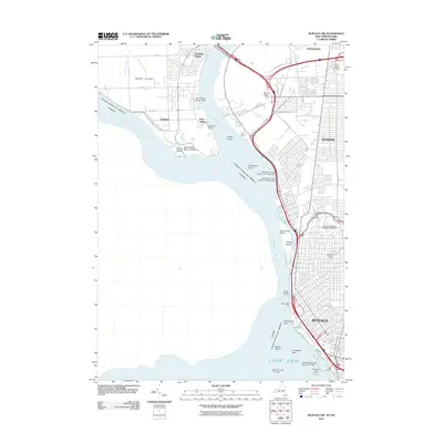
2011 Map of Buffalo NW
USGS Topo · Published 2011About this map
The Niagara River serves as a defining boundary and thoroughfare, separating Grand Island and the western reaches of Buffalo from the international border with Canada. Along the eastern banks, the Black Rock Canal parallels the river, protected by the Bird Island Pier and marked by the Buffalo Intake Crib Light at its entrance from Lake Erie. Significant infrastructure connects the region, including the Peace Bridge and International Bridge, which facilitate cross-border transit near the urban core.
Find a feature on this map
54 named features on this map. Tap any name to fly to it.
Don’t see what you’re looking for? This feature index may not catch every label — zoom into the map to look around manually.
Map Details
Editions of this 2011 Buffalo NW Map
This is the sole edition of this map. No revisions or reprints were ever made.
Other maps of this area

1894 · Buffalo
USGS Topo · 1:62,500

1894 · Niagara Falls
USGS Topo · 1:62,500

1896 · Niagara Falls
USGS Topo · 1:62,500

1897 · Tonawanda
USGS Topo · 1:62,500

1899 · Niagara
USGS Topo · 1:125,000

1900 · Tonawanda
USGS Topo · 1:62,500

1900 · Niagara Falls
USGS Topo · 1:62,500

1901 · Buffalo
USGS Topo · 1:62,500

1901 · Niagara Falls
USGS Topo · 1:62,500

1901 · Tonawanda
USGS Topo · 1:62,500