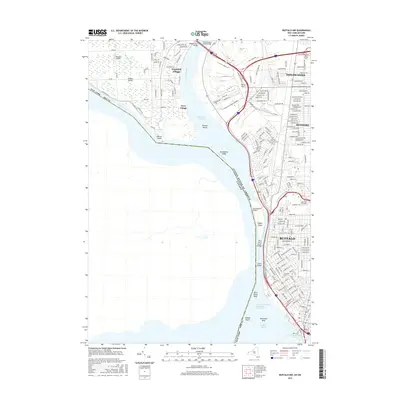
2016 Map of Buffalo NW
USGS Topo · Published 2016About this map
The Niagara River serves as the central artery for this international border region, separating the industrial and residential corridors of Buffalo and Tonawanda from the interior of Grand Island. On the island's eastern shore, small communities like Grandyle Village and Ferry Village sit opposite the mainland, where the Tonawanda Channel meets the bustling metropolitan waterfront. The landscape is defined by its heavy infrastructure and transit history, featuring major crossings such as the Peace Bridge and the International Bridge connecting to Canada.
Find a feature on this map
184 named features on this map. Tap any name to fly to it.
Don’t see what you’re looking for? This feature index may not catch every label — zoom into the map to look around manually.
Map Details
Editions of this 2016 Buffalo NW Map
This is the sole edition of this map. No revisions or reprints were ever made.
Other maps of this area

1894 · Buffalo
USGS Topo · 1:62,500

1894 · Niagara Falls
USGS Topo · 1:62,500

1896 · Niagara Falls
USGS Topo · 1:62,500

1897 · Tonawanda
USGS Topo · 1:62,500

1899 · Niagara
USGS Topo · 1:125,000

1900 · Tonawanda
USGS Topo · 1:62,500

1900 · Niagara Falls
USGS Topo · 1:62,500

1901 · Buffalo
USGS Topo · 1:62,500

1901 · Niagara Falls
USGS Topo · 1:62,500

1901 · Tonawanda
USGS Topo · 1:62,500