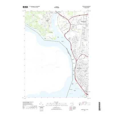
2019 Map of Buffalo NW
USGS Topo · Published 2019About this map
The Niagara River serves as the central artery for this 2019 survey, defining the industrial and residential boundaries between Buffalo, Tonawanda, and Grand Island. The map documents a complex aqueous landscape where the Black Rock Canal runs parallel to the river, protected by Unity Island and leading south toward the Lake Erie shoreline. This modern era shows the heavy infrastructure connecting the region, from the iconic Peace Bridge and International Bridge to the South Grand Island Bridge at the northern edge. On the mainland, educational and civic landmarks like SUNY Buffalo State, D'Youville College, and the Erie County Court Building anchor the urban grid. The geography is further detailed by numerous islands and reefs, including Beaver Island and the hazardous Horseshoe Reef at the Buffalo Entrance Channel.
Find a feature on this map
191 named features on this map. Tap any name to fly to it.
Don’t see what you’re looking for? This feature index may not catch every label — zoom into the map to look around manually.
Map Details
Editions of this 2019 Buffalo NW Map
This is the sole edition of this map. No revisions or reprints were ever made.
Other maps of this area

1894 · Buffalo
USGS Topo · 1:62,500

1894 · Niagara Falls
USGS Topo · 1:62,500

1896 · Niagara Falls
USGS Topo · 1:62,500

1897 · Tonawanda
USGS Topo · 1:62,500

1899 · Niagara
USGS Topo · 1:125,000

1900 · Tonawanda
USGS Topo · 1:62,500

1900 · Niagara Falls
USGS Topo · 1:62,500

1901 · Buffalo
USGS Topo · 1:62,500

1901 · Niagara Falls
USGS Topo · 1:62,500

1901 · Tonawanda
USGS Topo · 1:62,500