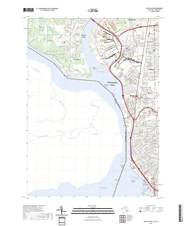
2023 Map of Buffalo NW
USGS Topo · Published 2023About this map
Buffalo and the surrounding riverfront communities are detailed in this contemporary study of the Niagara River corridor. The geography is dominated by the industrial and academic infrastructure of the West Side, including SUNY-Buffalo State College and D'Youville College, alongside the significant maritime works of the Black Rock Canal. On the eastern shore, the urban grid of Tonawanda and Kenmore gives way to the river's split around Grand Island, where suburban enclaves like Grandyle Village and Ferry Village are situated near Beaver Island State Park.
Find a feature on this map
195 named features on this map. Tap any name to fly to it.
Don’t see what you’re looking for? This feature index may not catch every label — zoom into the map to look around manually.
Map Details
Editions of this 2023 Buffalo NW Map
This is the sole edition of this map. No revisions or reprints were ever made.
Other maps of this area

1894 · Buffalo
USGS Topo · 1:62,500

1894 · Niagara Falls
USGS Topo · 1:62,500

1896 · Niagara Falls
USGS Topo · 1:62,500

1897 · Tonawanda
USGS Topo · 1:62,500

1899 · Niagara
USGS Topo · 1:125,000

1900 · Tonawanda
USGS Topo · 1:62,500

1900 · Niagara Falls
USGS Topo · 1:62,500

1901 · Buffalo
USGS Topo · 1:62,500

1901 · Niagara Falls
USGS Topo · 1:62,500

1901 · Tonawanda
USGS Topo · 1:62,500