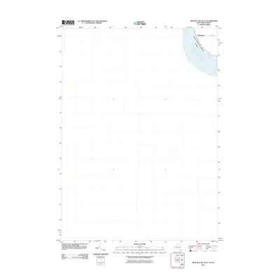
2011 Map of Buffalo NW OE W
USGS Topo · Published 2011About this map
Chippawa Channel Niagara River dominates the upper corner of this 2011 survey, marking the international boundary between the United States and Canada. The settlement of Sheenwater is positioned along the shoreline, where local transportation is defined by the intersection of Love Rd and W River Rd. This map captures a specific corridor of the river where residential development meets the waterway, just as the regional hydrography was being digitized for the National Hydrography Dataset. The focus is tightly constrained to the river's edge, highlighting the proximity of cross-border neighbors along this historic shipping and transit channel.
Find a feature on this map
5 named features on this map. Tap any name to fly to it.
Don’t see what you’re looking for? This feature index may not catch every label — zoom into the map to look around manually.
Map Details
Editions of this 2011 Buffalo NW OE W Map
This is the sole edition of this map. No revisions or reprints were ever made.
Other maps of this area

1894 · Buffalo
USGS Topo · 1:62,500

1894 · Niagara Falls
USGS Topo · 1:62,500

1896 · Niagara Falls
USGS Topo · 1:62,500

1897 · Tonawanda
USGS Topo · 1:62,500

1899 · Niagara
USGS Topo · 1:125,000

1900 · Tonawanda
USGS Topo · 1:62,500

1900 · Niagara Falls
USGS Topo · 1:62,500

1901 · Buffalo
USGS Topo · 1:62,500

1901 · Niagara Falls
USGS Topo · 1:62,500

1901 · Tonawanda
USGS Topo · 1:62,500