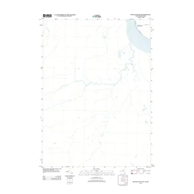
2013 Map of Buffalo NW OE W
USGS Topo · Published 2013About this map
Niagara River waters define the northeastern boundary of this landscape, where the international border meets the shoreline of Ontario and New York. The small settlement of Sheenwater is positioned along this riverfront, served by local transportation arteries including W River Rd and the W River Pkwy. While the interior remains largely defined by natural drainage patterns and open space, the road network near the river, including Love Rd, highlights a focused area of residential and recreational development. This 2013 data provides a contemporary view of the land use and hydrography along this significant waterway, documenting the spatial relationship between the river and its adjacent infrastructure.
Find a feature on this map
5 named features on this map. Tap any name to fly to it.
Don’t see what you’re looking for? This feature index may not catch every label — zoom into the map to look around manually.
Map Details
Editions of this 2013 Buffalo NW OE W Map
This is the sole edition of this map. No revisions or reprints were ever made.
Other maps of this area

1894 · Buffalo
USGS Topo · 1:62,500

1894 · Niagara Falls
USGS Topo · 1:62,500

1896 · Niagara Falls
USGS Topo · 1:62,500

1897 · Tonawanda
USGS Topo · 1:62,500

1899 · Niagara
USGS Topo · 1:125,000

1900 · Tonawanda
USGS Topo · 1:62,500

1900 · Niagara Falls
USGS Topo · 1:62,500

1901 · Buffalo
USGS Topo · 1:62,500

1901 · Niagara Falls
USGS Topo · 1:62,500

1901 · Tonawanda
USGS Topo · 1:62,500