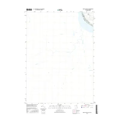
2016 Map of Buffalo NW OE W
USGS Topo · Published 2016About this map
The Niagara River serves as a prominent international boundary between New York and Canada in this 2016 survey. On the American side, the northern portion of Grand Island is detailed, showing the layout of Love Rd and the W River Pkwy as they trace the island's edge. This modern digital survey provides a clear view of the complex hydrography of the region, where numerous small tributaries like Boyer's Cr and Tea Cr drain toward the river system. On the Canadian side, the landscape is defined by the winding paths of Black Creek, Beaver Creek, and Frenchman's Cr. The contrast between the organized road networks of Erie Co and the natural watercourses across the border highlights the differing land use patterns in this cross-border corridor.
Find a feature on this map
15 named features on this map. Tap any name to fly to it.
Don’t see what you’re looking for? This feature index may not catch every label — zoom into the map to look around manually.
Map Details
Editions of this 2016 Buffalo NW OE W Map
This is the sole edition of this map. No revisions or reprints were ever made.
Other maps of this area

1894 · Buffalo
USGS Topo · 1:62,500

1894 · Niagara Falls
USGS Topo · 1:62,500

1896 · Niagara Falls
USGS Topo · 1:62,500

1897 · Tonawanda
USGS Topo · 1:62,500

1899 · Niagara
USGS Topo · 1:125,000

1900 · Tonawanda
USGS Topo · 1:62,500

1900 · Niagara Falls
USGS Topo · 1:62,500

1901 · Buffalo
USGS Topo · 1:62,500

1901 · Niagara Falls
USGS Topo · 1:62,500

1901 · Tonawanda
USGS Topo · 1:62,500