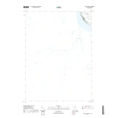
2019 Map of Buffalo NW OE W
USGS Topo · Published 2019About this map
The Niagara River serves as the international boundary on this 2019 survey, separating the western edge of Grand Island, New York, from the Canadian interior. This sheet focuses heavily on the Ontario side, revealing a landscape defined by an intricate network of waterways. Prominent among these are Black Creek, Beaver Creek, and Frenchman's Cr, which drain the low-lying terrain toward the river. On the American side, the map details the infrastructure of the shoreline, including W River Pkwy, W River Rd, and Love Rd. The distribution of smaller tributaries like Tea Cr, Boyer's Cr, and Baker Cr illustrates the hydrological character of the region as it transitions from the Niagara frontier into the rural stretches of Ontario.
Find a feature on this map
15 named features on this map. Tap any name to fly to it.
Don’t see what you’re looking for? This feature index may not catch every label — zoom into the map to look around manually.
Map Details
Editions of this 2019 Buffalo NW OE W Map
This is the sole edition of this map. No revisions or reprints were ever made.
Other maps of this area

1894 · Buffalo
USGS Topo · 1:62,500

1894 · Niagara Falls
USGS Topo · 1:62,500

1896 · Niagara Falls
USGS Topo · 1:62,500

1897 · Tonawanda
USGS Topo · 1:62,500

1899 · Niagara
USGS Topo · 1:125,000

1900 · Tonawanda
USGS Topo · 1:62,500

1900 · Niagara Falls
USGS Topo · 1:62,500

1901 · Buffalo
USGS Topo · 1:62,500

1901 · Niagara Falls
USGS Topo · 1:62,500

1901 · Tonawanda
USGS Topo · 1:62,500